50 States, 50 Places & 50 Stories › Texas
Texas sample place
Elephant Mountain WMA / Fort McKavett & Relinquishment Act Sec. 16
Parcel at a glance
The Elephant Mountain Wildlife Management Area sits atop a 6,200-foot flat-topped volcanic mesa and its surrounding Chihuahuan Desert grassland flats south of Alpine in Brewster County, spanning alternating Odd-Numbered Railroad Sections and Even-Numbered Permanent School Fund Sections in the Texas General Land Office (GLO) Abstract System. Owned today by the Texas Parks and Wildlife Department, this 23,147-acre public ranch demonstrates how Texas's non-federal sovereign land system and school-fund mineral laws work.
The land before the survey
For centuries, the spring-fed mountain canyons and tobosa-grass flats along Calamity and Terlingua Creeks were hunting grounds and travel routes of the Jumano, Mescalero Apache, Lipan Apache, and Comanche Nations. Because the Republic of Texas entered the Union by joint resolution of annexation in 1845 and kept its public domain, Texas has no federal PLSS grid. Every private title originates from a sovereign grant issued by Spain, Mexico, the Republic of Texas, or the State of Texas, surveyed in traditional Spanish varas (1 vara equals $33\frac{1}{3}$ inches) and cataloged by county Abstract Numbers at the Texas General Land Office in Austin.
First owners and the paper trail
To build railroads across the vast distances of West Texas without spending state cash, the Texas Legislature enacted the 1854 Railroad Land Grant Law, issuing Land Scrip Certificates that required railroad surveyors to lay out blocks of alternating 640-acre square sections. The railroad took title to every odd-numbered section, while every even-numbered section was surveyed at the railroad's expense and dedicated to the Texas Permanent School Fund (PSF). Beginning in the 1880s and 1890s, pioneer West Texas sheep and cattle ranchers bought the odd sections from the railroad and applied to the Texas GLO to purchase the even-numbered school sections on 40-year installment contracts—filing sworn settlement affidavits, before rancher C. G. Morrison consolidated the mountain ranch and donated it to the State of Texas in 1985.
School-trust connection
Texas manages the largest educational land endowment in the United States. Under the Texas Sales Acts of 1895–1905 and the landmark Relinquishment Act of 1919, whenever the Texas GLO sold an even-numbered school section with a "Mineral Classification," the State of Texas retained 100% of the subsurface oil and gas for the Permanent School Fund, but appointed the surface landowner as the state's statutory leasing agent—entitling the landowner and the public school fund to split all oil and gas lease bonuses and royalties 50/50.
What records survive and where to look
- Free Online Texas GLO Land Grant Archive: The Texas GLO Land Grant Search and GIS Viewer (glo.texas.gov) is one of the finest state archives in the country, providing free high-resolution scans of every original Railroad Scrip file, vara surveyor's field note, and School Land Classification and Purchase file jacket (including the settler's handwritten application and payment ledger).
- County CAD GIS & Deeds: The Brewster County Appraisal District GIS and Texas Water Development Board well logs are open online, and Brewster County deeds back to 1887 are digitized on FamilySearch.
What we are still confirming
- The exact Texas GLO Abstract and School File Jacket numbers for the core headquarters section at Elephant Mountain to confirm which even-numbered sections were sold with a State Mineral Classification versus Grazing Classification, and whether any 20th-century resurvey required a Texas GLO Deed of Acquittance for excess vara acreage.
Historical & landscape images
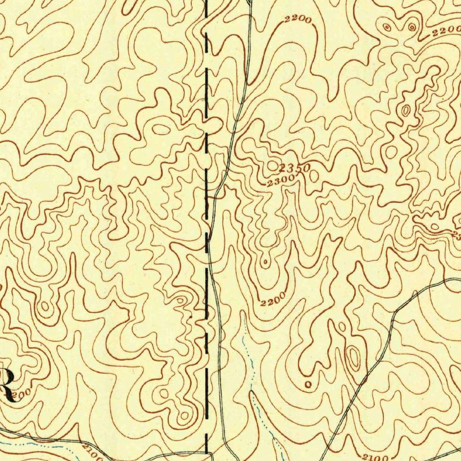
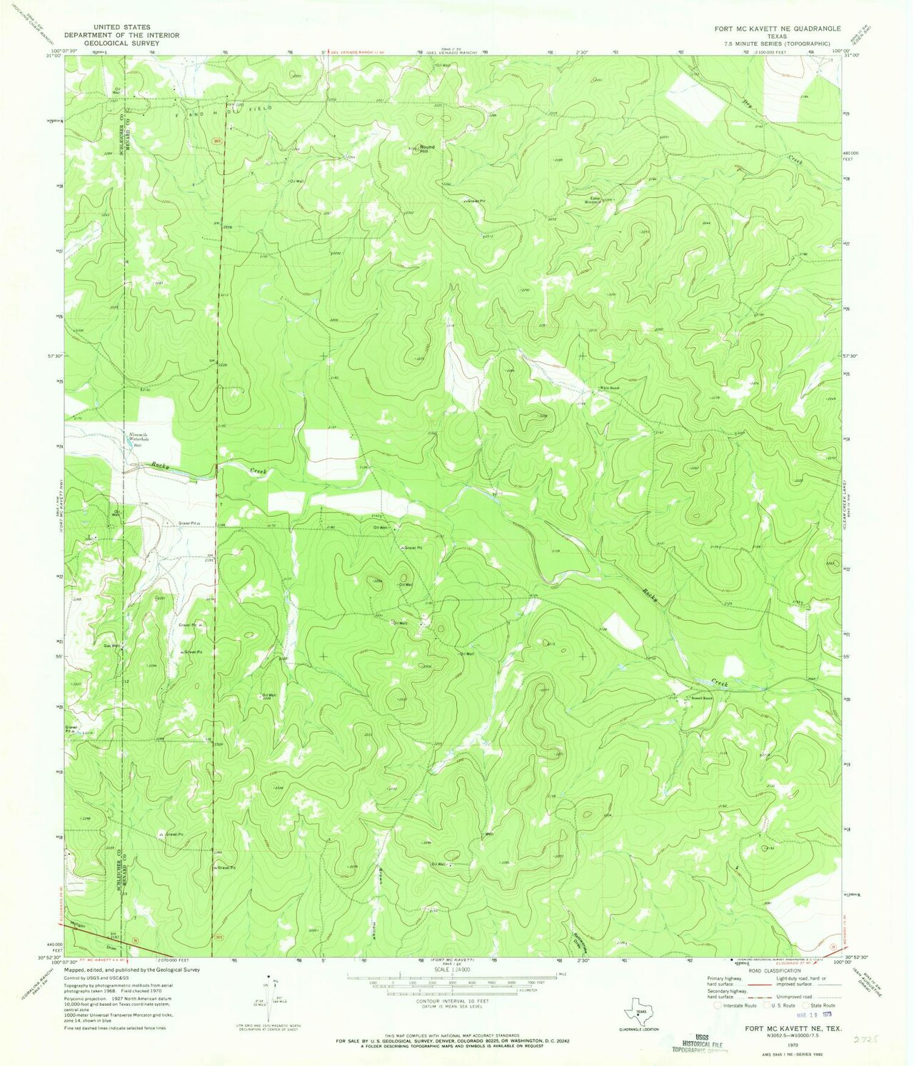
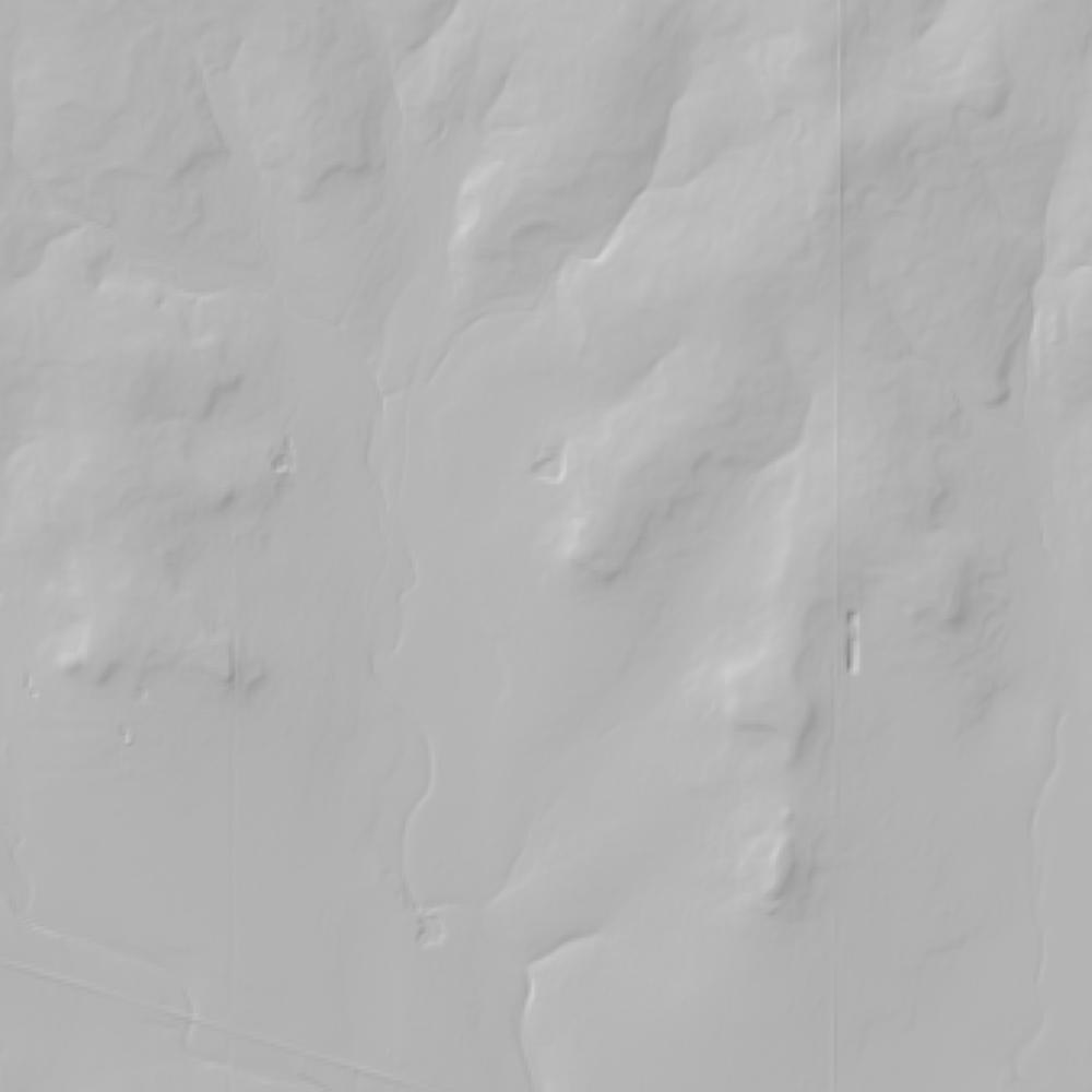
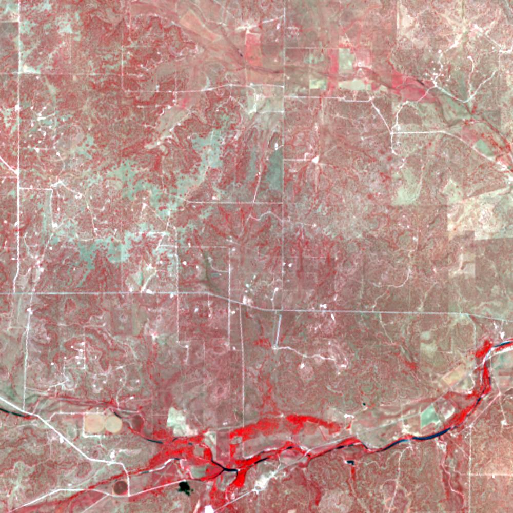
Aerial photographs, historical topographic surveys, lidar elevation, and ground imagery gathered for this place.
How to get more images
- USGS EarthExplorer (earthexplorer.usgs.gov, free account): Aerial Photo Single Frames, NHAP (1980–89, incl. color-infrared) and NAPP (1987–2007) covering this site. Medium-resolution scans download free; high-resolution film scans cost about $30 per frame (2–3 weeks).
- USDA FSA Aerial Photography Field Office (APFO, Salt Lake City): historic county-wide farm-program photos from the 1930s on, ordered by email/phone; scans run roughly $20–$50 per frame (check current price list).
- National Archives (College Park, Cartographic Branch): 1930s–1950s USDA/AAA aerials; free to view in person, reproductions through NARA's order service or approved vendors.
- Texas GLO Map Store and TNRIS/TxGIO historic aerial index (scans for a fee).
- HistoricAerials.com (NETR Online): stitched historic aerials and topos by address; downloads/prints priced per image (often about $30–$80 for personal use; commercial licensing extra).
- Commercial satellite (Maxar/Vantor, Airbus, Planet via resellers such as SkyWatch or Apollo Mapping): archive scenes from ~$10–$25/km² with small minimum orders; new tasking costs more.
- Drone flight: a local FAA Part 107 pilot typically charges about $200–$600 for a basic photo/video shoot of a parcel; ask the landowner or site manager for permission first.
This sample report was researched from public records and checked against its sources. Historical research, not title or boundary advice.
← All 50 states, places & stories · Original 50 Picks Archive · Start your own Land File