50 States, 50 Places & 50 Stories › South Carolina
South Carolina sample place
Penn Center NHL & 1863 Lincoln Direct Tax Freedmen's Grid
Parcel at a glance
The Penn Center National Historic Landmark District sits at the heart of St. Helena Island in Beaufort County, inside the 1863 U.S. Direct Tax Commission Rectangular Survey (Oaks and Hastings Plantations). Owned by the nonprofit Penn Center, Inc. and in part by the National Park Service (Reconstruction Era National Historical Park), this 50-acre campus and its surrounding 10-acre farm lots tell the most powerful combined Reconstruction, survey-grid, and school-trust story in the American South.
The land before the survey
For thousands of years, the tidal creeks, maritime live-oak forests, and salt marshes of the Sea Islands were the homeland of the Cusabo (Escamacu and St. Helena) peoples. During the 1700s, British Royal grants carved St. Helena Island into irregular metes-and-bounds sea-island cotton and indigo plantations worked by enslaved West and Central Africans whose descendants forged Gullah-Geechee culture. On November 7, 1861 ("The Big Gun Shoot"), when Union naval forces captured Port Royal Sound, white Confederate planters fled St. Helena Island overnight, leaving roughly 10,000 formerly enslaved people on the land.
First owners and the paper trail
Even though South Carolina is a metes-and-bounds state where Beaufort County's antebellum deed books burned in Columbia in 1865, St. Helena Island has a rectangular federal survey grid created by President Abraham Lincoln. Under the Direct Tax Act of June 7, 1862 (12 Stat. 422), Federal Tax Commissioners seized the abandoned Confederate plantations for unpaid federal taxes, surveyed St. Helena Island into square sections and 10-acre farm lots, and under Lincoln's Instructions of September 16, 1863, auctioned and preempted thousands of acres in 10- to 40-acre tracts to Formerly Enslaved Gullah-Geechee heads of families at $1.25 per acre—issuing official U.S. Direct Tax Commission Land Certificates. In 1862, northern abolitionist teachers Laura Towne and Ellen Murray founded Penn School (joined by Charlotte Forten), purchasing 50 acres at Brick Church where emancipated citizens learned to read their deeds and survey plats. Across subsequent generations, many 10-acre Freedmen's lots passed down without formal probated wills as "Heirs' Property" (tenancy in common among living descendants).
School-trust connection
Under the 1862–1866 Federal Direct Tax Acts and President Lincoln's instructions, the U.S. Tax Commissioners explicitly reserved dedicated plantation tracts and tax-sale proceeds on St. Helena Island as "school farms" to support schools ([TO CONFIRM]: the fund's official name, the acreage reserved, and how long it supported Sea Island schools).
What records survive and where to look
- 1863 Federal Direct Tax Plats & Certificates: NARA Record Groups 58 and 217 and the South Carolina Department of Archives and History (SCDAH) hold the complete 1863 U.S. Direct Tax Assessment Lists, Rectangular Plantation Lot Plats, Freedmen's Land Certificates, and school-farm reserve lists (digitized on FamilySearch and Fold3).
- County GIS & Penn School Papers: Beaufort County's GIS and Register of Deeds publish open post-1865 deeds and plats, while UNC's Southern Historical Collection and the Penn Center Archives preserve the Penn School land papers.
What we are still confirming
- The exact 1863 U.S. Direct Tax Commission lot numbers and Freedmen's Certificate numbers for the parcels bordering the 50-acre Penn School tract on Oaks Plantation, and the specific NARA RG 58 ledger inventorying the school-farm lots.
Historical & landscape images
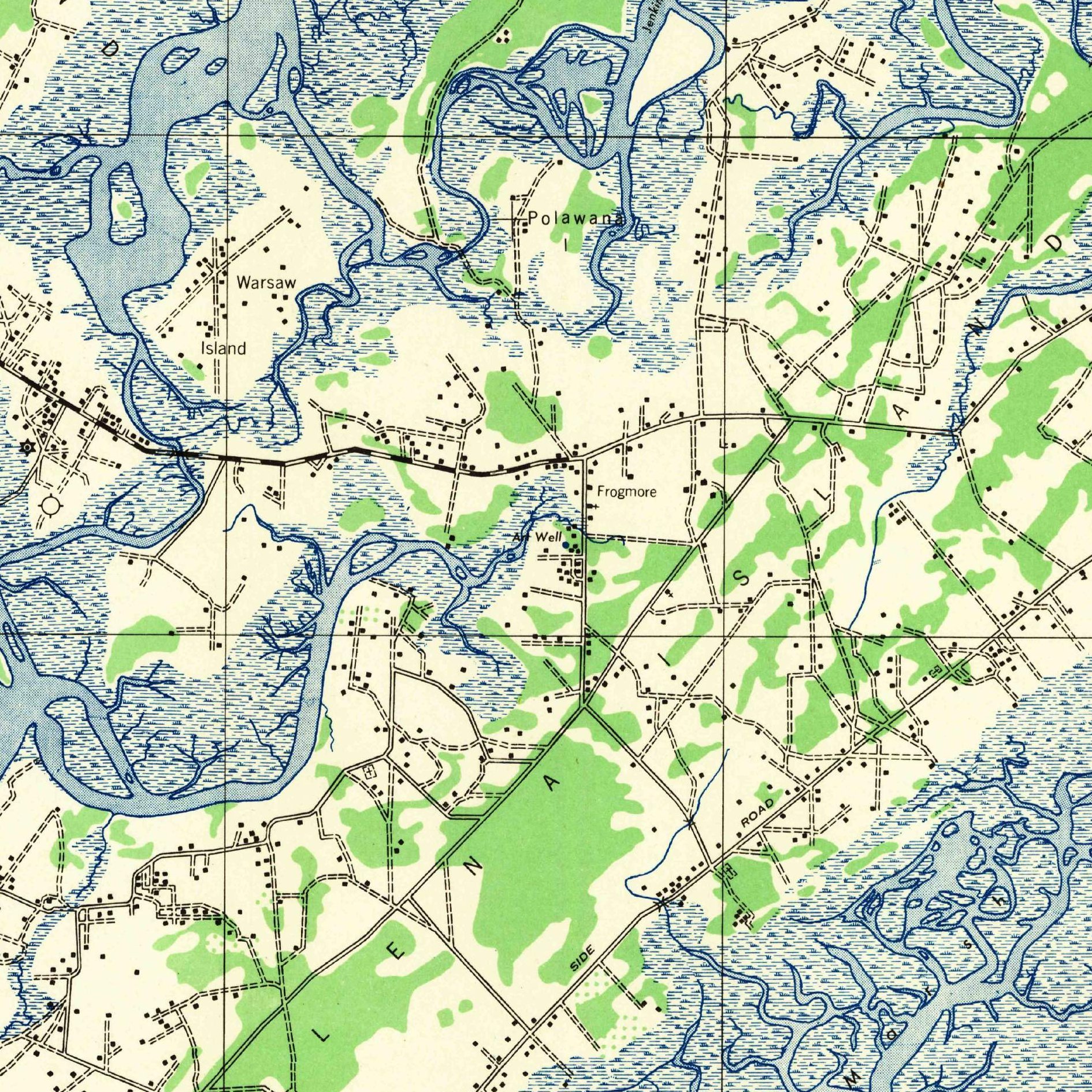
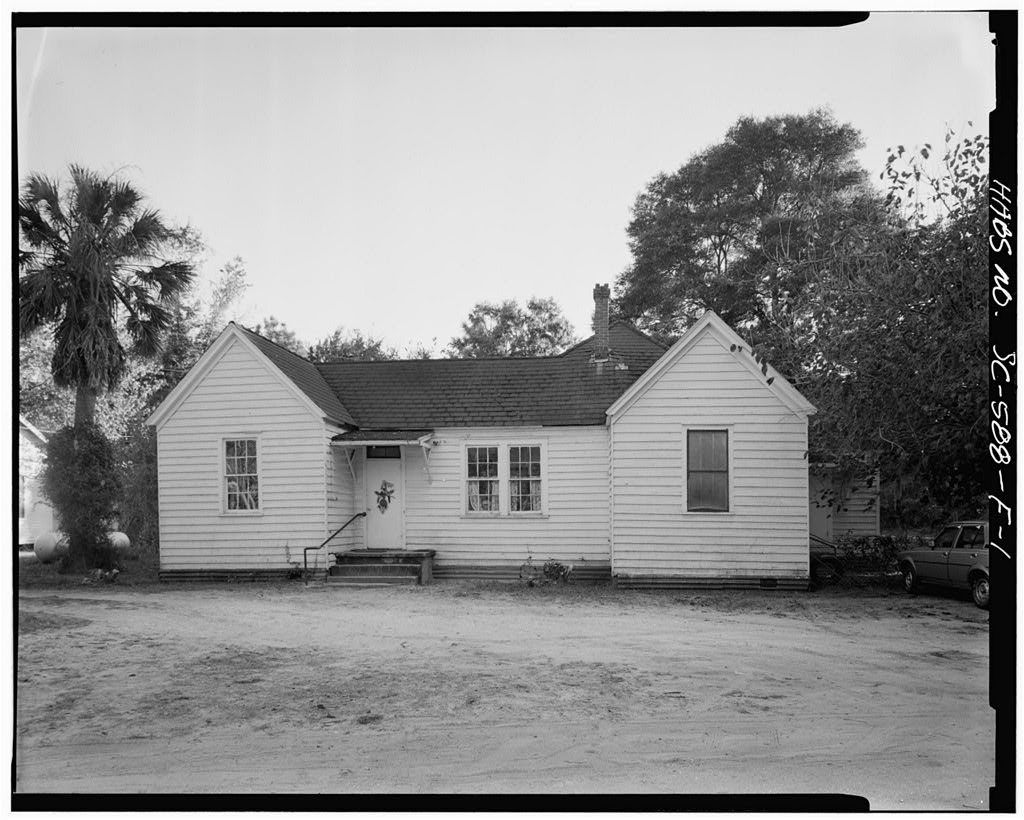
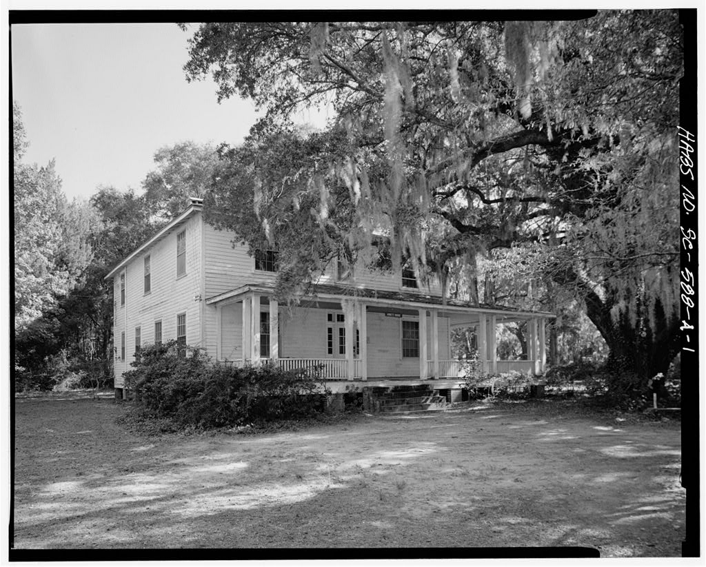
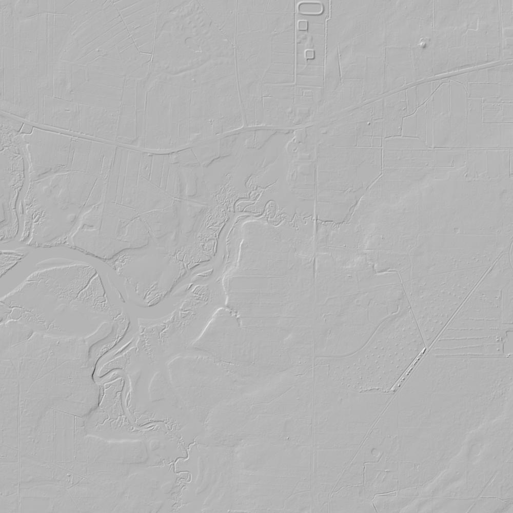
Aerial photographs, historical topographic surveys, lidar elevation, and ground imagery gathered for this place.

How to get more images
- USGS EarthExplorer (earthexplorer.usgs.gov, free account): Aerial Photo Single Frames, NHAP (1980–89, incl. color-infrared) and NAPP (1987–2007) covering this site. Medium-resolution scans download free; high-resolution film scans cost about $30 per frame (2–3 weeks).
- USDA FSA Aerial Photography Field Office (APFO, Salt Lake City): historic county-wide farm-program photos from the 1930s on, ordered by email/phone; scans run roughly $20–$50 per frame (check current price list).
- National Archives (College Park, Cartographic Branch): 1930s–1950s USDA/AAA aerials; free to view in person, reproductions through NARA's order service or approved vendors.
- the South Carolina State Archives / state historical society and the state university map library (ask about historic aerial prints and scans); the state GIS clearinghouse for lidar.
- HistoricAerials.com (NETR Online): stitched historic aerials and topos by address; downloads/prints priced per image (often about $30–$80 for personal use; commercial licensing extra).
- Commercial satellite (Maxar/Vantor, Airbus, Planet via resellers such as SkyWatch or Apollo Mapping): archive scenes from ~$10–$25/km² with small minimum orders; new tasking costs more.
- Drone flight: a local FAA Part 107 pilot typically charges about $200–$600 for a basic photo/video shoot of a parcel; ask the landowner or site manager for permission first.
This sample report was researched from public records and checked against its sources. Historical research, not title or boundary advice.
← All 50 states, places & stories · Original 50 Picks Archive · Start your own Land File