50 States, 50 Places & 50 Stories › Pennsylvania
Pennsylvania sample place
Graeme Park State Historic Site (Penn Warrantee Connected Draft)
Parcel at a glance
Graeme Park State Historic Site sits along a headwater branch of the Neshaminy Creek in Montgomery County (originally Philadelphia and Bucks Counties, Horsham Township), inside a 1718 William Penn Proprietary Warrant and Survey. Owned by the Commonwealth of Pennsylvania and administered by the Pennsylvania Historical and Museum Commission (PHMC)—and paired with a northern Pennsylvania "Yankee-Pennamite" school-lot and severed-coal sidebar in Luzerne County—this 42-acre historic farmstead shows how Pennsylvania turned irregular colonial surveys into a seamless township jigsaw map.
The land before the survey
For thousands of years before colonial surveying, the Neshaminy and Pennypack Creek valleys north of Philadelphia were the homeland of the Unami-speaking Lenape (Delaware) people. Following William Penn's 1681 Royal Charter and a series of Lenape land treaties in the 1680s and 1690s, Pennsylvania rejected rectangular township grids in favor of a disciplined four-step proprietary title system: Application $\rightarrow$ Warrant $\rightarrow$ Metes-and-Bounds Survey $\rightarrow$ Patent.
First owners and the paper trail
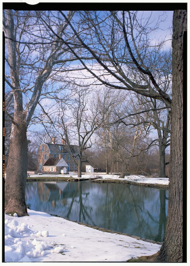
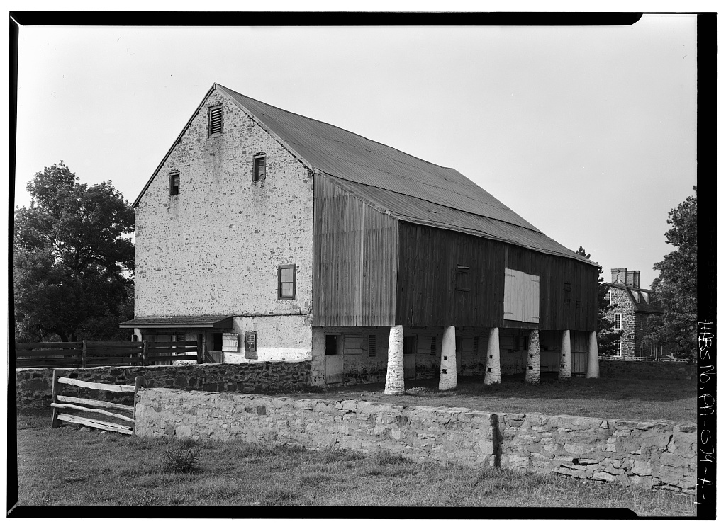
In 1718, Lieutenant Governor Sir William Keith acquired a large Horsham Township tract under a Penn proprietary warrant ([TO CONFIRM]: warrant details and acreage) and in 1721–22 built a malt house and the surviving stone mansion (Fountain Low). In 1739, Philadelphia physician Dr. Thomas Graeme bought the estate as a country seat, and in the 20th century Welsh and Margaret Strawbridge farmed the property before donating the 42 acres containing the Keith House to the Commonwealth in 1958. What makes Pennsylvania extraordinary for land researchers is that state draftsmen later stitched every colonial survey plat in each township together into "Township Warrantee Connected Draft Maps"—showing how the 1718 Keith/Graeme tract fits against every neighboring farm like pieces of a puzzle.
School-trust connection
While William Penn's 1682 Frame of Government mandated public schools and early legislatures endowed County Academies prior to the 1834 Pennsylvania Free School Act, northern Pennsylvania holds a direct New England school-lot trust story. In the 1760s–1790s, armed Connecticut colonists claiming northern Pennsylvania under Connecticut's 1662 charter surveyed 5-mile-square "Certified Townships" in Luzerne and Bradford Counties and reserved lots for schools and the ministry ([TO CONFIRM]: lot size)—confirmed by Pennsylvania in the Compromising Act of 1799 after the Yankee-Pennamite Wars, right atop anthracite coal beds that later gave rise to Pennsylvania's unique "Three-Estate" property law (Surface Estate, Coal/Mineral Estate, and the separate Support Estate).
What records survive and where to look
- Free Online Connected Draft Maps & Survey Books: The Pennsylvania State Archives (PHMC) provides 100% free online high-resolution scans of the Township Warrantee Connected Draft Maps (including Horsham Township and the 17 Certified Townships), the Warrant Registers (1682–1950s), and the Copied Survey Books.
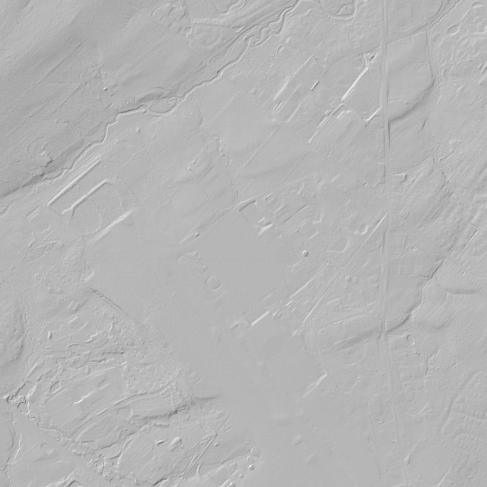
- 1937 Aerials, Lidar & Colonial Deeds: PASDA hosts open parcel GIS, 1-meter lidar, and 1937–1940 Penn Pilot statewide aerials, while Philadelphia and Montgomery County deeds and Orphans' Court partitions back to 1682 are digitized on FamilySearch.
What we are still confirming
- The exact Patent Book volume and page at the Pennsylvania State Archives where the final quitrent fees were paid to convert the 1718 Horsham Warrant and Survey into a formal Proprietary Patent.
Historical & landscape images
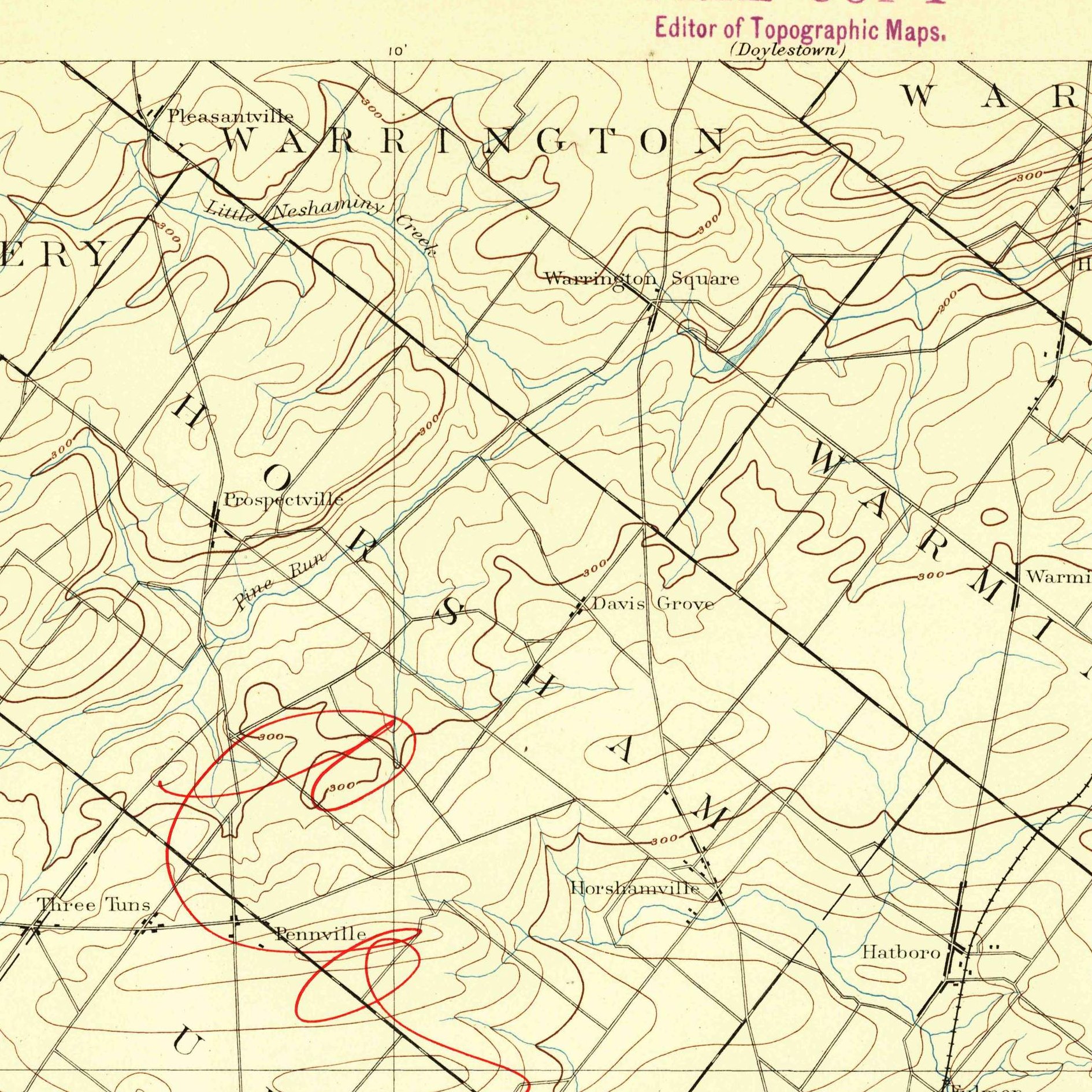
Aerial photographs, historical topographic surveys, lidar elevation, and ground imagery gathered for this place.
How to get more images
- USGS EarthExplorer (earthexplorer.usgs.gov, free account): Aerial Photo Single Frames, NHAP (1980–89, incl. color-infrared) and NAPP (1987–2007) covering this site. Medium-resolution scans download free; high-resolution film scans cost about $30 per frame (2–3 weeks).
- USDA FSA Aerial Photography Field Office (APFO, Salt Lake City): historic county-wide farm-program photos from the 1930s on, ordered by email/phone; scans run roughly $20–$50 per frame (check current price list).
- National Archives (College Park, Cartographic Branch): 1930s–1950s USDA/AAA aerials; free to view in person, reproductions through NARA's order service or approved vendors.
- PASDA historic aerials (Penn State, 1930s–1970s, free online).
- HistoricAerials.com (NETR Online): stitched historic aerials and topos by address; downloads/prints priced per image (often about $30–$80 for personal use; commercial licensing extra).
- Commercial satellite (Maxar/Vantor, Airbus, Planet via resellers such as SkyWatch or Apollo Mapping): archive scenes from ~$10–$25/km² with small minimum orders; new tasking costs more.
- Drone flight: a local FAA Part 107 pilot typically charges about $200–$600 for a basic photo/video shoot of a parcel; ask the landowner or site manager for permission first.
This sample report was researched from public records and checked against its sources. Historical research, not title or boundary advice.
← All 50 states, places & stories · Original 50 Picks Archive · Start your own Land File