50 States, 50 Places & 50 Stories › Oklahoma
Oklahoma sample place
OSU Cross Timbers Range & CLO 4-Purpose Trust Grid (Secs. 13, 16, 33, 36)
Parcel at a glance
The Oklahoma State University (OSU) Cross Timbers Experimental Range and its adjoining school-trust sections sit along the Lake Carl Blackwell watershed just west of Stillwater in Payne County, Township 19 North, Range 1 East, Sections 13, 16, 24, and 36, Indian Meridian. Owned by Oklahoma State University and the State of Oklahoma (managed by the Commissioners of the Land Office), this rolling oak-woodland and tallgrass-prairie corridor showcases both the famous 1889 Land Run and Oklahoma's unique four-section institutional trust grid.
The land before the survey
For centuries, the boundary where dense post-oak and blackjack-oak woodlands ("The Cross Timbers") meet the open plains was a major ecological landmark and hunting ground of the Osage, Pawnee, Wichita, and Comanche Nations, and following the 1830s removals, lay within the western lands of the Muscogee (Creek) and Cherokee Nations. After the post-Civil War Reconstruction treaties of 1866 ceded the central "Unassigned Lands" to the United States, General Land Office (GLO) deputy surveyors ran the Indian Meridian grid across Payne County in the early 1870s.
First owners and the paper trail
At high noon on April 22, 1889, cannon and pistol shots opened the Unassigned Lands to America's first great Land Run. Tens of thousands of settlers raced on horseback and in wagons to drive stakes into 160-acre quarter-sections, filing Homestead entries at the Guthrie and Kingfisher Land Offices (frequently battling "Sooner" contests over who reached a quarter-section first). Thin sandstone soils on the Cross Timbers ridges eroded heavily when plowed for cotton during the 1920s and the 1930s Dust Bowl. Beginning in 1935, the federal Resettlement Administration purchased eroded private homesteads around Stillwater Creek to build Lake Carl Blackwell, later transferring the surrounding range and research sections to Oklahoma State University while oil and gas leases developed across the township's subsurface mineral estate.
School-trust connection
Nowhere else in the United States has a four-section institutional trust grid quite like western and central Oklahoma. Under the 1889 and 1893 Opening Proclamations and the Oklahoma Enabling Act of June 16, 1906 (34 Stat. 267), Congress reserved four distinct sections in every Oklahoma Territory township: Sections 16 and 36 for Common Schools, Section 13 for State Universities and Colleges (Directly benefiting OSU and sister institutions), and Section 33 for Public Buildings—while granting a $5,000,000 cash endowment in lieu of school sections in Eastern Oklahoma ("Indian Territory"), where the Five Civilized Tribes held fee-simple title.
What records survive and where to look
- State Trust & County Deeds: The Oklahoma Commissioners of the Land Office (CLO) publishes an open interactive GIS map of all surface and mineral trust lands across Sections 13, 16, 33, and 36, while OKCountyRecords.com provides online scans of Payne County deeds.
- Homestead Proofs & Well Logs: 1870s GLO survey notes and 1889 Land Run homestead proof files are on the BLM GLO portal and FamilySearch, and the Oklahoma Corporation Commission (OCC) and Water Resources Board (OWRB) host free online oil, gas, and water well logs.
What we are still confirming
- The exact 1935–1938 Payne County Deed Book and Page citations for the federal Resettlement Administration purchases in Section 24, and the current CLO agricultural and oil/gas lease numbers on adjoining Sections 13, 16, and 36.
Historical & landscape images
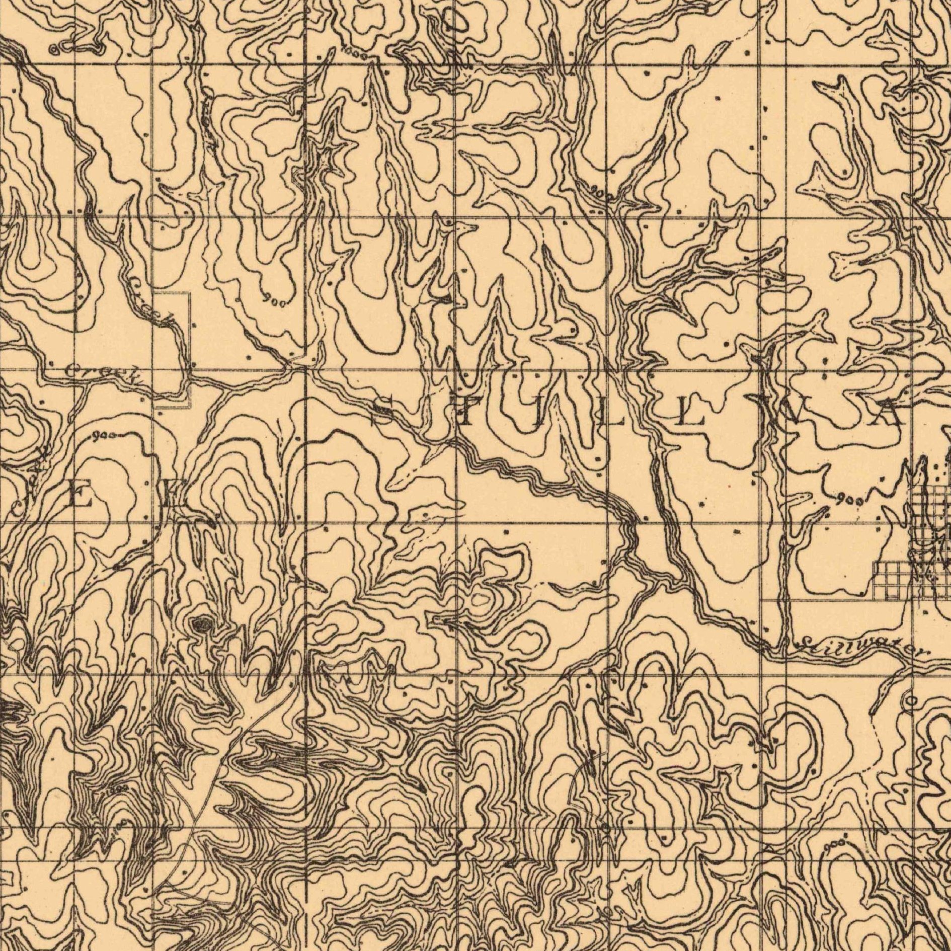
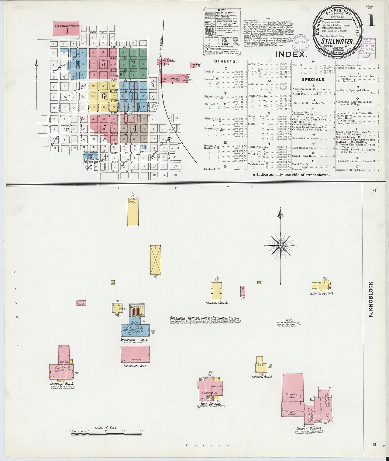
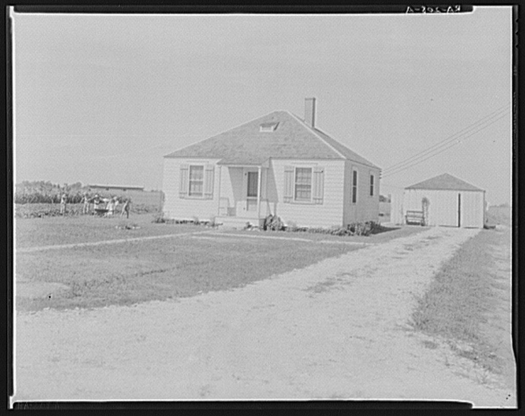
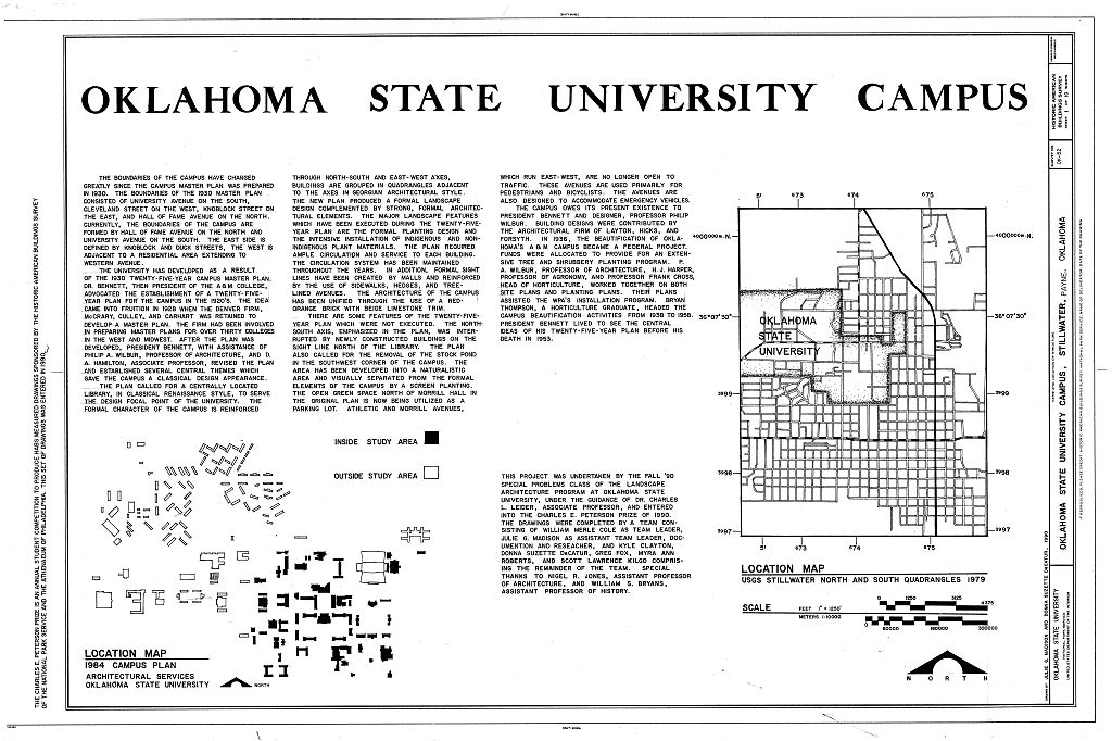
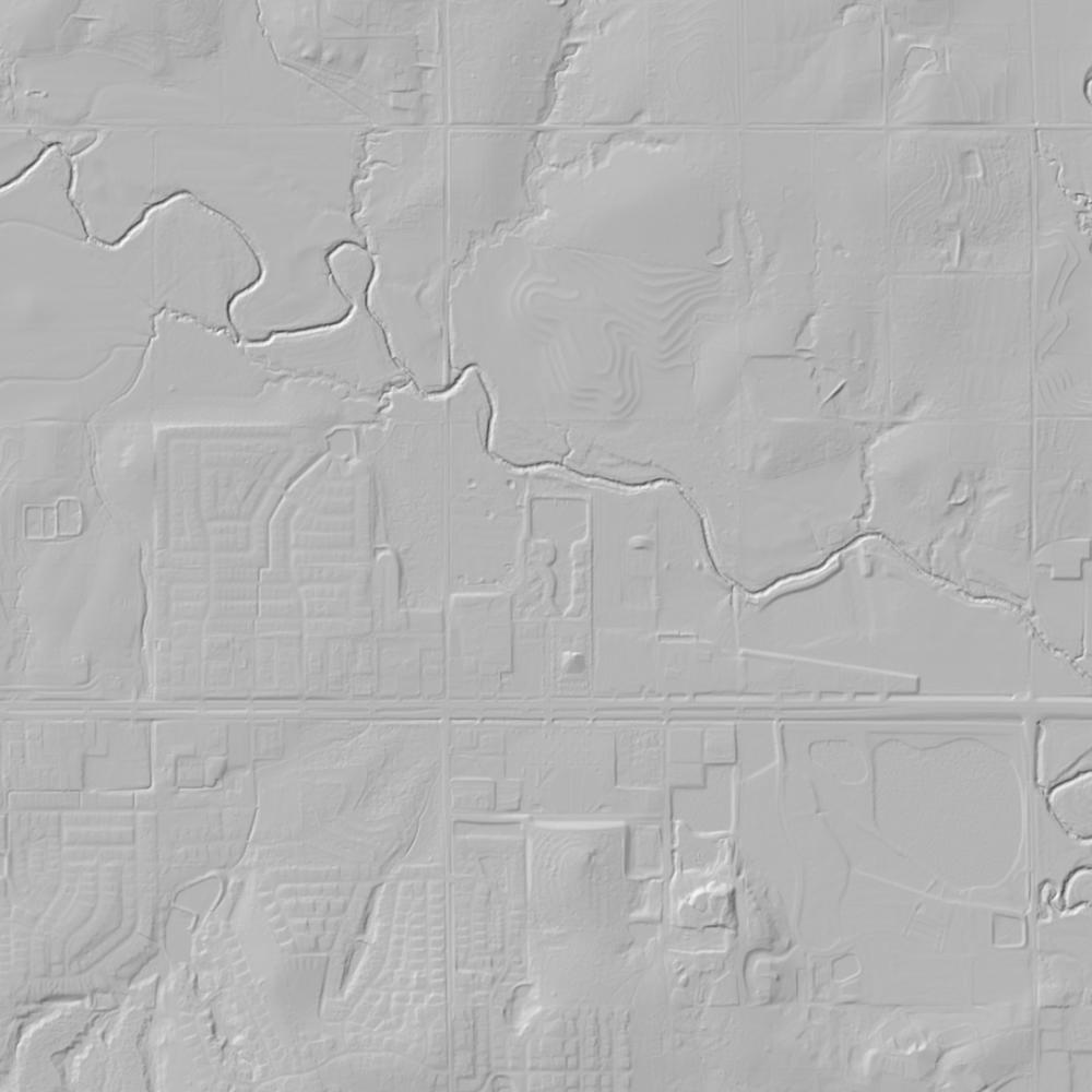
Aerial photographs, historical topographic surveys, lidar elevation, and ground imagery gathered for this place.
How to get more images
- USGS EarthExplorer (earthexplorer.usgs.gov, free account): Aerial Photo Single Frames, NHAP (1980–89, incl. color-infrared) and NAPP (1987–2007) covering this site. Medium-resolution scans download free; high-resolution film scans cost about $30 per frame (2–3 weeks).
- USDA FSA Aerial Photography Field Office (APFO, Salt Lake City): historic county-wide farm-program photos from the 1930s on, ordered by email/phone; scans run roughly $20–$50 per frame (check current price list).
- National Archives (College Park, Cartographic Branch): 1930s–1950s USDA/AAA aerials; free to view in person, reproductions through NARA's order service or approved vendors.
- the Oklahoma State Archives / state historical society and the state university map library (ask about historic aerial prints and scans); the state GIS clearinghouse for lidar.
- HistoricAerials.com (NETR Online): stitched historic aerials and topos by address; downloads/prints priced per image (often about $30–$80 for personal use; commercial licensing extra).
- Commercial satellite (Maxar/Vantor, Airbus, Planet via resellers such as SkyWatch or Apollo Mapping): archive scenes from ~$10–$25/km² with small minimum orders; new tasking costs more.
- Drone flight: a local FAA Part 107 pilot typically charges about $200–$600 for a basic photo/video shoot of a parcel; ask the landowner or site manager for permission first.
This sample report was researched from public records and checked against its sources. Historical research, not title or boundary advice.
← All 50 states, places & stories · Original 50 Picks Archive · Start your own Land File