50 States, 50 Places & 50 Stories › Ohio
Ohio sample place
Ohio University College Green & Sec. 16 / Sec. 29 Trust Lots
Parcel at a glance
The Ohio University College Green and Cutler Hall sit on a terrace overlooking the Hocking River at Athens in Athens County, Township 9 North, Range 14 West (Range 14, Town 9 of the 1787 Ohio Company Purchase), Section 9, paired with the township's Section 16 and Section 29 trust lots, Ohio River Survey. Owned by Ohio University (chartered in 1804 as the first public university in the Northwest Territory), this parcel sits inside the only land purchase in American history where Congress created three separate public trusts—for schools, for religion, and for a university—on the same grid.
The land before the survey
For thousands of years before American surveying, the Hocking River Valley was home to Indigenous mound-building cultures of the Adena and Hopewell traditions (who built the monumental earthworks just downriver at The Plains and Marietta), and in the 18th century served as the hunting grounds of the Shawnee, Delaware (Lenape), and Wyandot Nations. Following the 1785 Treaty of Fort McIntosh and the Northwest Ordinance of July 13, 1787, New England minister and scientist Manasseh Cutler negotiated the 1787 Ohio Company of Associates Purchase with the Continental Congress—acquiring 1.5 million acres surveyed into six-mile square townships of 36 sections each.
First owners and the paper trail
To persuade New England Revolutionary War veterans to buy shares, Congress agreed in July 1787 to reserve two entire six-mile townships in the center of the purchase (Town 9, Range 14 [Athens] and Town 8, Range 14 [Alexander], totaling 46,080 acres) to endow a public university. In 1799, surveyor Rufus Putnam laid out the town of Athens and the College Green inside Section 9, and in 1804 the Ohio Legislature chartered Ohio University. Rather than selling the two townships outright, the university leased out every farm and town lot on 99-year ground leases "renewable forever" (per the 1805 amendment to the charter) at 6% of appraised value as annual rent. When early settlers persuaded the legislature in 1843 to freeze their tax and rent revaluations at bare-dirt 1804 rates, the university's endowment was crippled for over a century—sparking lawsuits that continued into the 20th century ([TO CONFIRM]: the 1961 appellate citation, given as 115 Ohio App. 211) until a 2015 Ohio statute finally authorized the university to put seven remaining leased Athens parcels up for fee-simple auction.
School-trust connection
Alongside the two full university townships, the 1787 Ohio Company Purchase contract required two section-level trusts in every township: Section 16 reserved for Public Common Schools, and Section 29 reserved for the Support of Religion ("Ministerial Lands")—making Ohio the only state in the Union with federal Section 29 Ministerial trust sections. Like the university lands, Sections 16 and 29 were initially leased out on 99-year leases before Congress and the Ohio Auditor of State authorized leaseholders to surrender their leases for fee-simple State of Ohio School and Ministerial Deeds.
What records survive and where to look
- Digitized University "Range Books" & Court Files: Ohio University's Mahn Center has digitized the original "Range Books" mapping and tracking the 1804 perpetual leases across Townships 8 and 9, alongside the 1895–1916 lease files, the 20th-century court files, the 2015 auction records, and the National Historic Landmark file for Cutler Hall (built 1816; designated in 1965–66, sources differ).
- State Auditor Registers & Online County Deeds: The Ohio Auditor of State and Ohio History Connection hold the Section 16 and Section 29 School and Ministerial Deed registers, while the Athens County Recorder and Auditor provide free online deed scans and GIS maps back to the 1790s.
What we are still confirming
- The exact Range Book lot numbers and 2015 fee-conversion deed book and page citations for the seven auctioned Athens leasehold tracts, and the 19th-century fee-surrender dates for Sections 16 and 29 in T9N, R14W.
Historical & landscape images
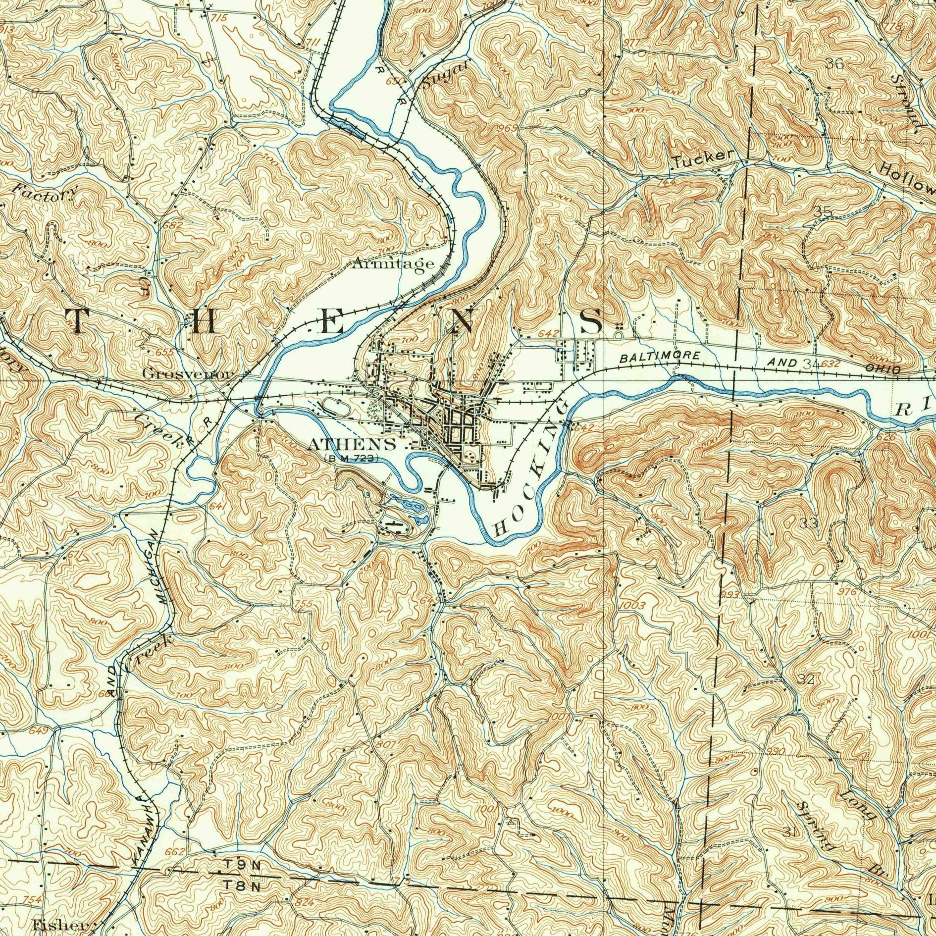
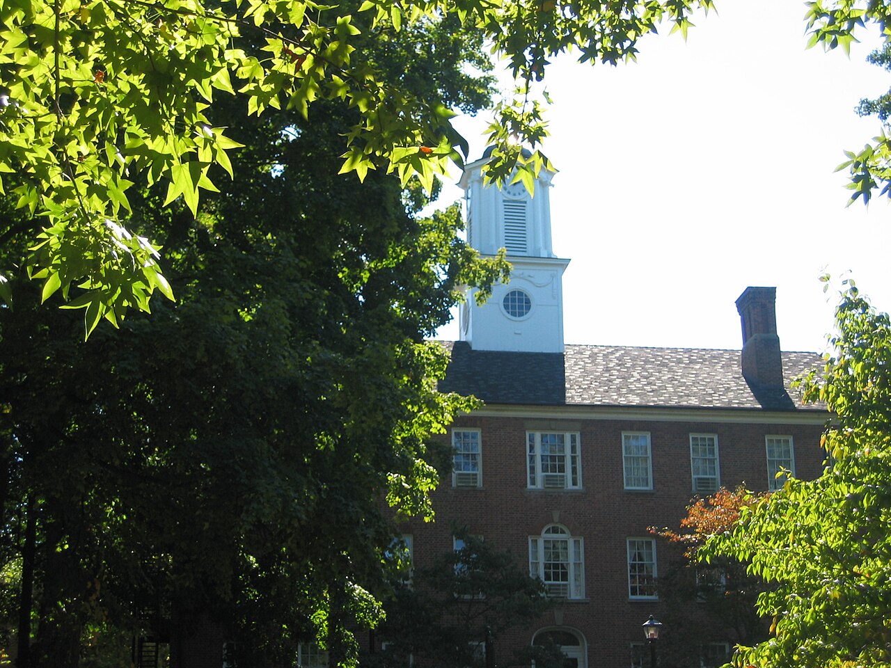
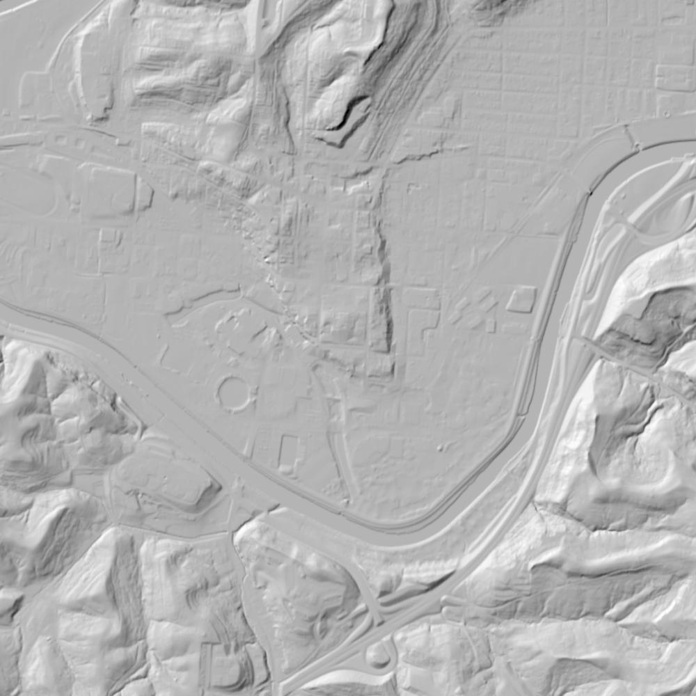
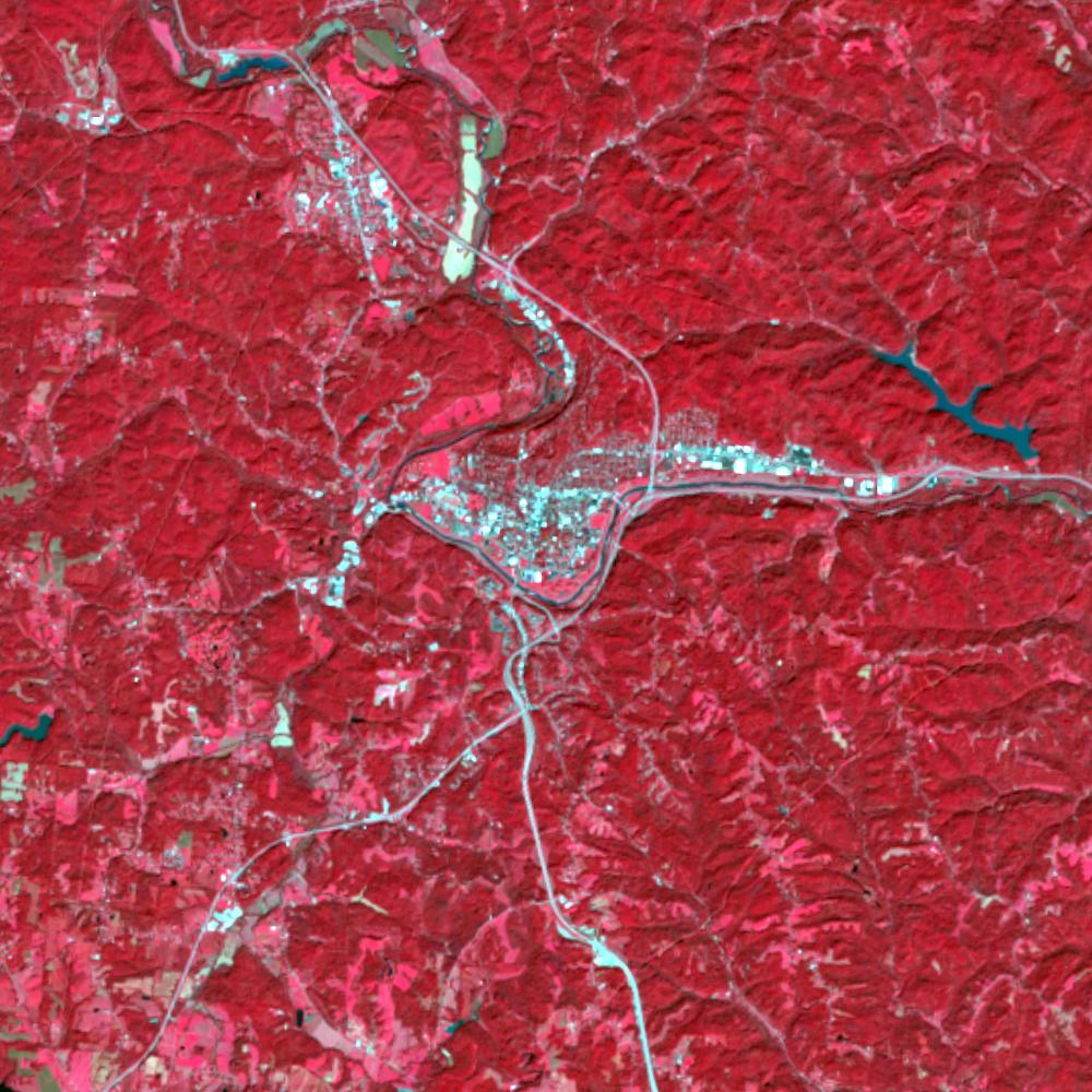
Aerial photographs, historical topographic surveys, lidar elevation, and ground imagery gathered for this place.
How to get more images
- USGS EarthExplorer (earthexplorer.usgs.gov, free account): Aerial Photo Single Frames, NHAP (1980–89, incl. color-infrared) and NAPP (1987–2007) covering this site. Medium-resolution scans download free; high-resolution film scans cost about $30 per frame (2–3 weeks).
- USDA FSA Aerial Photography Field Office (APFO, Salt Lake City): historic county-wide farm-program photos from the 1930s on, ordered by email/phone; scans run roughly $20–$50 per frame (check current price list).
- National Archives (College Park, Cartographic Branch): 1930s–1950s USDA/AAA aerials; free to view in person, reproductions through NARA's order service or approved vendors.
- Ohio History Connection archives; OGRIP statewide imagery.
- HistoricAerials.com (NETR Online): stitched historic aerials and topos by address; downloads/prints priced per image (often about $30–$80 for personal use; commercial licensing extra).
- Commercial satellite (Maxar/Vantor, Airbus, Planet via resellers such as SkyWatch or Apollo Mapping): archive scenes from ~$10–$25/km² with small minimum orders; new tasking costs more.
- Drone flight: a local FAA Part 107 pilot typically charges about $200–$600 for a basic photo/video shoot of a parcel; ask the landowner or site manager for permission first.
This sample report was researched from public records and checked against its sources. Historical research, not title or boundary advice.
← All 50 states, places & stories · Original 50 Picks Archive · Start your own Land File