50 States, 50 Places & 50 Stories › New Mexico
New Mexico sample place
Baca Location No. 1 — Valle Grande HQ & Banco Bonito (Valles Caldera)
Parcel at a glance
The Valle Grande headquarters and Banco Bonito corridor of Baca Location No. 1 (Valles Caldera National Preserve) sit high in the Jemez Mountains in Sandoval County, Township 19 North and Township 20 North, Range 3 East and Range 4 East, New Mexico Principal Meridian. Owned by the National Park Service since 2015, this 89,000-acre volcanic caldera tract traces its boundaries to an 1860 Act of Congress that created a giant square "floating" land grant inside New Mexico's public domain.
The land before the survey
For thousands of years before European contact, the 13-mile-wide volcanic caldera (Tzi-ip-a-bu-na to Jemez Pueblo), its obsidian domes, hot springs, and high mountain meadows were sacred hunting, gathering, and ceremonial grounds of Jemez Pueblo (Walatowa), surrounding Rio Grande Pueblos, and the Navajo, Jicarilla Apache, and Ute Nations. While Spanish and Mexican settlers in neighboring valleys like Taos and Embudo laid out narrow irrigated farm strips along community Acequia Madre ditches, the high caldera rim remained unplatted mountain pasture until the U.S. takeover in 1848.
First owners and the paper trail
In 1821–1825, Mexican authorities granted Luis María Cabeza de Vaca a huge ranching tract at Las Vegas, New Mexico, which collided with a competing town grant. To settle the dispute after the 1848 Treaty of Guadalupe Hidalgo, Congress passed the Act of June 21, 1860 (12 Stat. 71), allowing the Baca heirs to give up Las Vegas and select five equal square tracts (~99,289 acres each) of vacant non-mineral land anywhere in New Mexico Territory. For Baca Location No. 1, the family selected the entire Valles Caldera. Over the next century, private ranch, timber, and mining companies ran 100,000 sheep and cattle across the Valle Grande, logged over a thousand miles of steep mountain truck roads, and mined sulfur. Congress purchased the ranch from the Dunigan family in 2000 for the Valles Caldera Trust and transferred it to the National Park Service in 2015, followed by an October 2024 settlement recognizing Jemez Pueblo's right to occupy and use the roughly 3,035-acre Banco Bonito area for traditional cultural and religious purposes, while it stays in the preserve under NPS management.
School-trust connection
Under the 1898 Ferguson Act and the 1910 New Mexico Enabling Act (36 Stat. 557), Congress granted New Mexico four school sections in every township—Sections 2, 16, 32, and 36. Because the 12.5-mile-square private boundary of Baca Location No. 1 preempted nearly four full townships inside the caldera before statehood, those displaced school sections triggered massive indemnity lieu-land selections by the New Mexico State Land Office elsewhere in the state.
What records survive and where to look
- Surveyor General & Congressional Files: New Mexico Surveyor General files, the 1860 Act records, the 1993 U.S. Forest Service study, House Report 106-724, Valles Caldera Trust files, and the 2024 Jemez Pueblo settlement records survive.
- Water & Logging Archives: New Mexico Office of the State Engineer (OSE) water files, historic logging and sulfur-mining maps, and Sandoval County deed records document the 20th-century operations.
What we are still confirming
- The exact approval dates for the original 1876 exterior boundary survey and federal patent confirmation in the New Mexico Surveyor General and BLM GLO files.
- The specific New Mexico State Land Office Indemnity Selection List numbers replacing the Sections 2, 16, 32, and 36 preempted inside the Baca Location No. 1 square.
Historical & landscape images
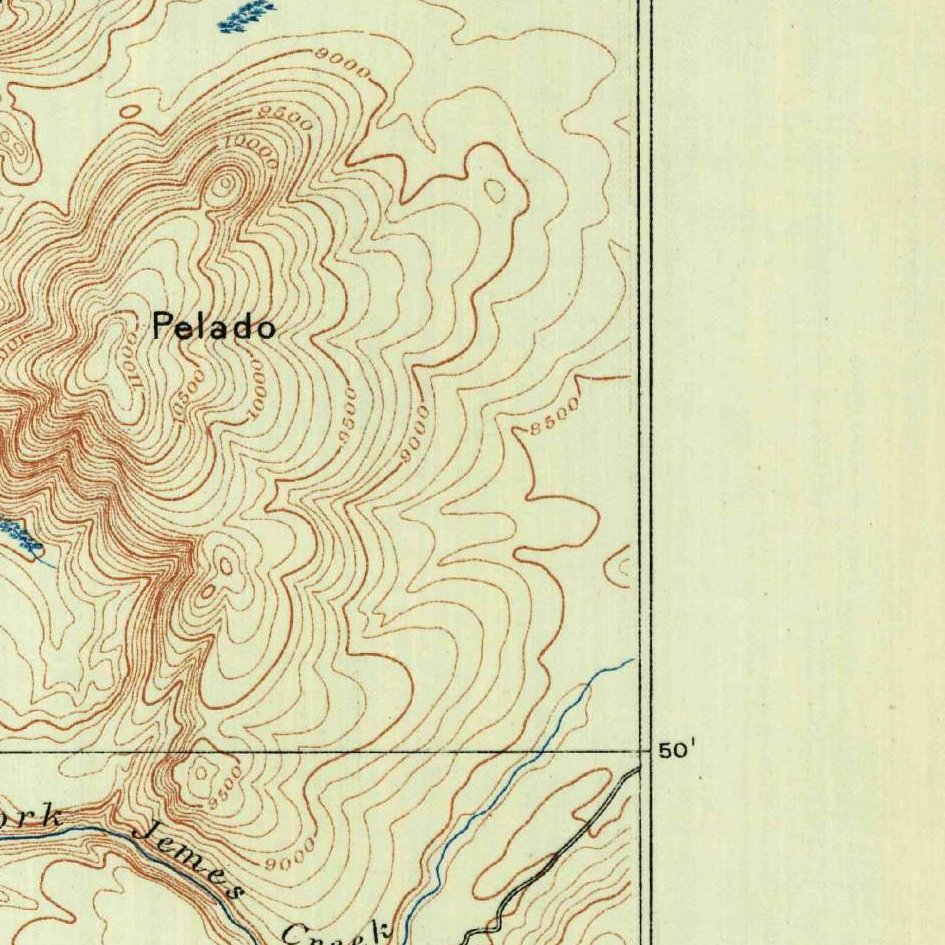
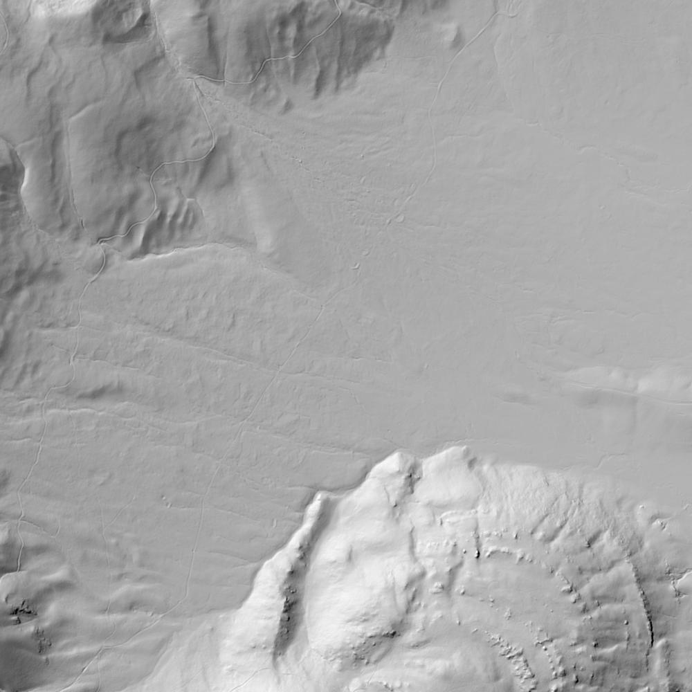
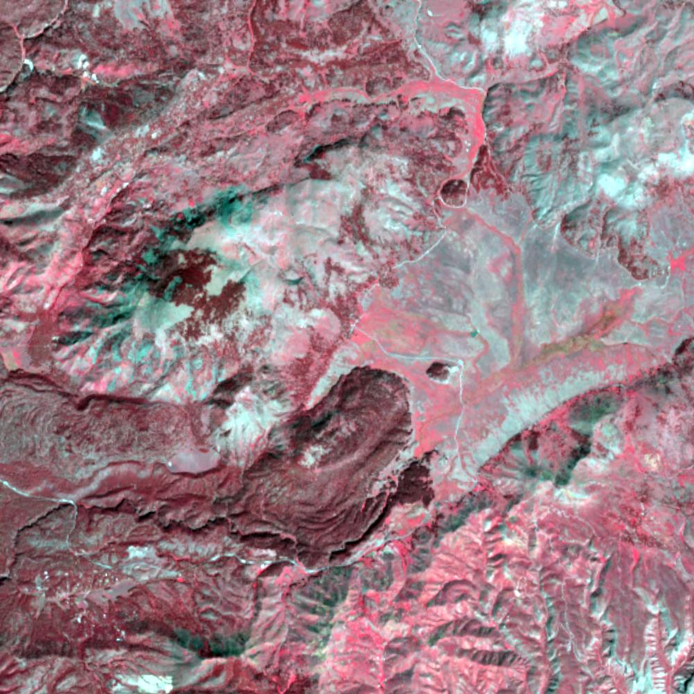
Aerial photographs, historical topographic surveys, lidar elevation, and ground imagery gathered for this place.
How to get more images
- USGS EarthExplorer (earthexplorer.usgs.gov, free account): Aerial Photo Single Frames, NHAP (1980–89, incl. color-infrared) and NAPP (1987–2007) covering this site. Medium-resolution scans download free; high-resolution film scans cost about $30 per frame (2–3 weeks).
- USDA FSA Aerial Photography Field Office (APFO, Salt Lake City): historic county-wide farm-program photos from the 1930s on, ordered by email/phone; scans run roughly $20–$50 per frame (check current price list).
- National Archives (College Park, Cartographic Branch): 1930s–1950s USDA/AAA aerials; free to view in person, reproductions through NARA's order service or approved vendors.
- the New Mexico State Archives / state historical society and the state university map library (ask about historic aerial prints and scans); the state GIS clearinghouse for lidar.
- HistoricAerials.com (NETR Online): stitched historic aerials and topos by address; downloads/prints priced per image (often about $30–$80 for personal use; commercial licensing extra).
- Commercial satellite (Maxar/Vantor, Airbus, Planet via resellers such as SkyWatch or Apollo Mapping): archive scenes from ~$10–$25/km² with small minimum orders; new tasking costs more.
- Drone flight: a local FAA Part 107 pilot typically charges about $200–$600 for a basic photo/video shoot of a parcel; ask the landowner or site manager for permission first.
This sample report was researched from public records and checked against its sources. Historical research, not title or boundary advice.
← All 50 states, places & stories · Original 50 Picks Archive · Start your own Land File