50 States, 50 Places & 50 Stories › Nevada
Nevada sample place
Dangberg Home Ranch Historic Park & 1880 2M-Acre School Grant
Parcel at a glance
The Dangberg Home Ranch Historic Park sits on the irrigated meadow floor of the Carson Valley just west of Minden in Douglas County, Township 12 North and Township 13 North, Range 20 East, Sections 6, 7, and 16, Mount Diablo Meridian. Owned today by Douglas County as a public historic park, the core headquarters of what grew into a 48,000-acre cattle and alfalfa ranch showcases Nevada's remarkable 1880 school-land trade and federal river-decree water rights.
The land before the survey
For thousands of years before American settlement, the lush wetlands and snowmelt streams of the Carson River at the eastern foot of the Sierra Nevada were the heart of the homeland of the Waší·šiw (Washoe) people. In the 1850s, while the Carson Valley was still administered as "Carson County, Utah Territory," early emigrants staked squatter meadow claims along the river channels to supply hay and beef to travelers and Comstock Lode silver miners. After Congress organized Nevada Territory in 1861, GLO deputy surveyors extended the Mount Diablo Meridian across the valley floor in the early 1860s.
First owners and the paper trail
German immigrant Heinrich Friedrich Dangberg settled on a Carson Valley meadow tract in 1857, built a log cabin, and systematically expanded his ranch through federal Preemption and Homestead patents, state land purchase contracts, and a network of pioneer irrigation ditches diverted from the East Fork of the Carson River. Because Great Basin ranch land depends entirely on snowmelt irrigation, the Dangberg ditches established some of the oldest water priority dates in Nevada—adjudicated after fifty-five years of federal litigation in the 1980 Alpine Decree (United States v. Alpine Land & Reservoir Co.). Douglas County later acquired the historic ranch house and agricultural buildings as a public park ([TO CONFIRM]: acquisition date).
School-trust connection
Nevada executed the most dramatic school-trust pivot in American history. Under its 1864 Admission Act, Congress granted Nevada Sections 16 and 36 (~3.9 million acres), but because those fixed grid sections fell overwhelmingly on waterless mountain peaks and alkali flats, settlers refused to buy them. In the Act of June 16, 1880 (21 Stat. 287), Nevada surrendered all its unsold Sections 16 and 36 back to the United States in exchange for a Two-Million-Acre In-Lieu School Grant—allowing Nevada ranchers like Dangberg to apply to the State Land Register to cherry-pick 40-acre parcels anywhere in the state that had springs or meadow grass at $1.25 per acre to fund the Nevada Permanent School Fund.
What records survive and where to look
- County GIS & Recorded Surveys: Douglas County's interactive GIS and Parcel Viewer link directly to scanned Assessor maps and Recorded Surveys, while Douglas County deeds back to 1861 are digitized on FamilySearch.
- 1880 School Selections & Water Decrees: The Nevada Division of State Lands and BLM GLO hold the 1880 Two-Million-Acre School Grant selection lists and patents, and the Nevada Division of Water Resources (NDWR) provides online scans of the Alpine Decree maps and pre-1905 Vested Water Rights.
What we are still confirming
- The exact Nevada State Land Office contract and patent numbers for the 1880 Two-Million-Acre School Grant tracts incorporated into the Dangberg home ranch in T12N/T13N, R20E.
- Whether any pre-1861 squatter conveyances for the home meadow were recorded in the Utah Territory Carson County record books prior to Nevada's territorial organization.
Historical & landscape images
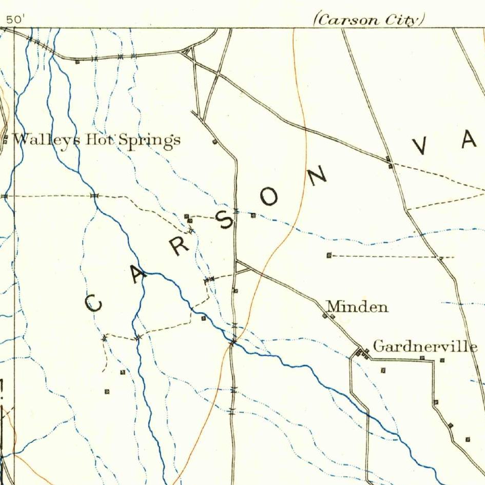
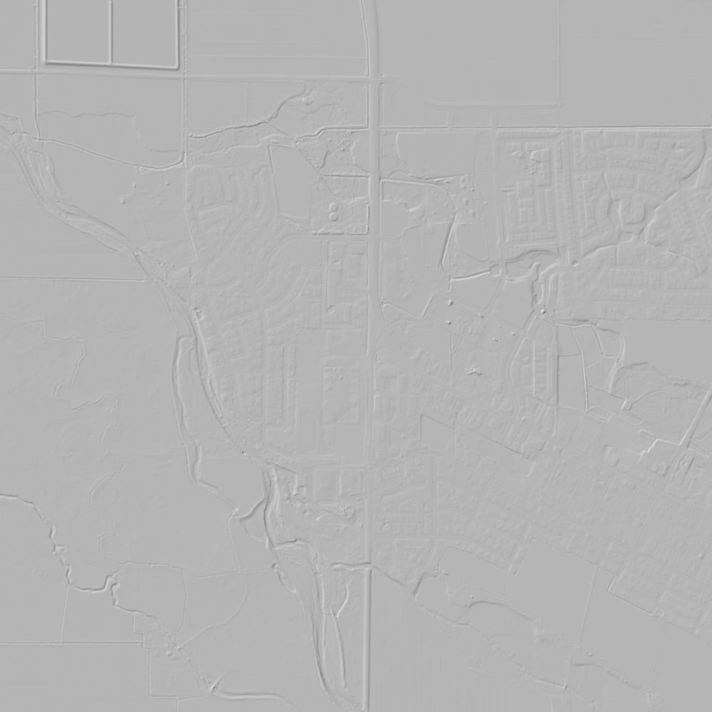
Aerial photographs, historical topographic surveys, lidar elevation, and ground imagery gathered for this place.

How to get more images
- USGS EarthExplorer (earthexplorer.usgs.gov, free account): Aerial Photo Single Frames, NHAP (1980–89, incl. color-infrared) and NAPP (1987–2007) covering this site. Medium-resolution scans download free; high-resolution film scans cost about $30 per frame (2–3 weeks).
- USDA FSA Aerial Photography Field Office (APFO, Salt Lake City): historic county-wide farm-program photos from the 1930s on, ordered by email/phone; scans run roughly $20–$50 per frame (check current price list).
- National Archives (College Park, Cartographic Branch): 1930s–1950s USDA/AAA aerials; free to view in person, reproductions through NARA's order service or approved vendors.
- the Nevada State Archives / state historical society and the state university map library (ask about historic aerial prints and scans); the state GIS clearinghouse for lidar.
- HistoricAerials.com (NETR Online): stitched historic aerials and topos by address; downloads/prints priced per image (often about $30–$80 for personal use; commercial licensing extra).
- Commercial satellite (Maxar/Vantor, Airbus, Planet via resellers such as SkyWatch or Apollo Mapping): archive scenes from ~$10–$25/km² with small minimum orders; new tasking costs more.
- Drone flight: a local FAA Part 107 pilot typically charges about $200–$600 for a basic photo/video shoot of a parcel; ask the landowner or site manager for permission first.
This sample report was researched from public records and checked against its sources. Historical research, not title or boundary advice.
← All 50 states, places & stories · Original 50 Picks Archive · Start your own Land File