50 States, 50 Places & 50 Stories › Nebraska
Nebraska sample place
Daniel Freeman Homestead No. 1 & Freeman School
Parcel at a glance
The Daniel Freeman Homestead (Homestead National Historical Park) sits along Cub Creek just west of Beatrice in Gage County, Township 4 North, Range 5 East, spanning 160 acres in Sections 26 and 23 (with adjoining park additions in Sections 21, 22, and 27 and nearby Section 16), Sixth Principal Meridian. Owned by the National Park Service since 1936, this tallgrass prairie and bottomland-oak parcel is famous as the nation's first claim under the Homestead Act of 1862.
The land before the survey
For generations, the Cub Creek and Big Blue River valleys were the homeland and hunting grounds of the Otoe and Missouria, Pawnee, and Kansa (Kaw) Nations. Under the Treaty of March 15, 1854 (10 Stat. 1038), the Confederated Otoe and Missouria Tribe ceded eastern Nebraska to the United States. General Land Office (GLO) deputy surveyors ran the Sixth Principal Meridian township and section lines across Gage County in 1855–1857, recording burr oak, walnut, and cottonwood timber along Cub Creek surrounded by open upland prairie.
First owners and the paper trail
Popular history recounts that Union soldier and scout Daniel Freeman convinced the Brownville Land Office clerk to open the office minutes after midnight on January 1, 1863—the moment the Homestead Act took effect—so he could file Homestead Application No. 1. The surviving paper trail, however, tells a more complex story: Freeman had actually bought an earlier squatter's improvements and filed a preemption claim on the land the previous September (1862), undercutting the midnight-claim legend. Because Freeman wanted his claim to follow the wooded bends of Cub Creek rather than a standard square quarter-section, his Patent No. 1 (issued September 1, 1869, on Final Certificate No. 1 of January 20, 1868) describes an L-shaped 160-acre parcel: the $S\frac{1}{2}NW\frac{1}{4}$ and $NE\frac{1}{4}NW\frac{1}{4}$ of Section 26, and the $SW\frac{1}{4}SW\frac{1}{4}$ of Section 23, T4N, R5E. Congress purchased the homestead from Freeman's heirs in 1936–1938 to establish the national park.
School-trust connection
This property connects to public education in two distinct ways. First, the one-room brick Freeman School near the homestead ([TO CONFIRM]: section) produced a landmark church-and-state lawsuit when Daniel Freeman sued the school board in 1899 to stop a teacher from leading sectarian Bible readings, resulting in the Nebraska Supreme Court's decision barring sectarian instruction in public schools (State ex rel. Freeman v. Scheve, 65 Neb. 853, 91 N.W. 846 (1902)). Second, under the 1864 Nebraska Enabling Act, Congress granted Sections 16 and 36 of every township for common schools—including Section 16 of T4N, R5E near Freeman's farm ([TO CONFIRM]: distance and direction).
What records survive and where to look
- Homestead Packet No. 1 & NPS Files: Freeman's original 1863 Application, 1868 Final Proof affidavits and Final Certificate No. 1, the 1869 Patent No. 1, and the 1936–1938 federal acquisition files are digitized at the National Archives and on DocsTeach.
- State Surveyor & County Records: The Nebraska State Surveyor's Office online portal holds the 1850s GLO survey notes and plats, while Gage County deeds back to 1857 are digitized on FamilySearch alongside the 1902 Supreme Court record.
What we are still confirming
- Because two published transcriptions of Freeman's quarter-section description disagree on one 40-acre call, we are checking the handwritten text directly against the high-resolution scan of Patent Volume 1, Page 1.
- Whether any part of Section 16, T4N, R5E remains held under an agricultural lease by the Nebraska Board of Educational Lands and Funds (BELF).
Historical & landscape images
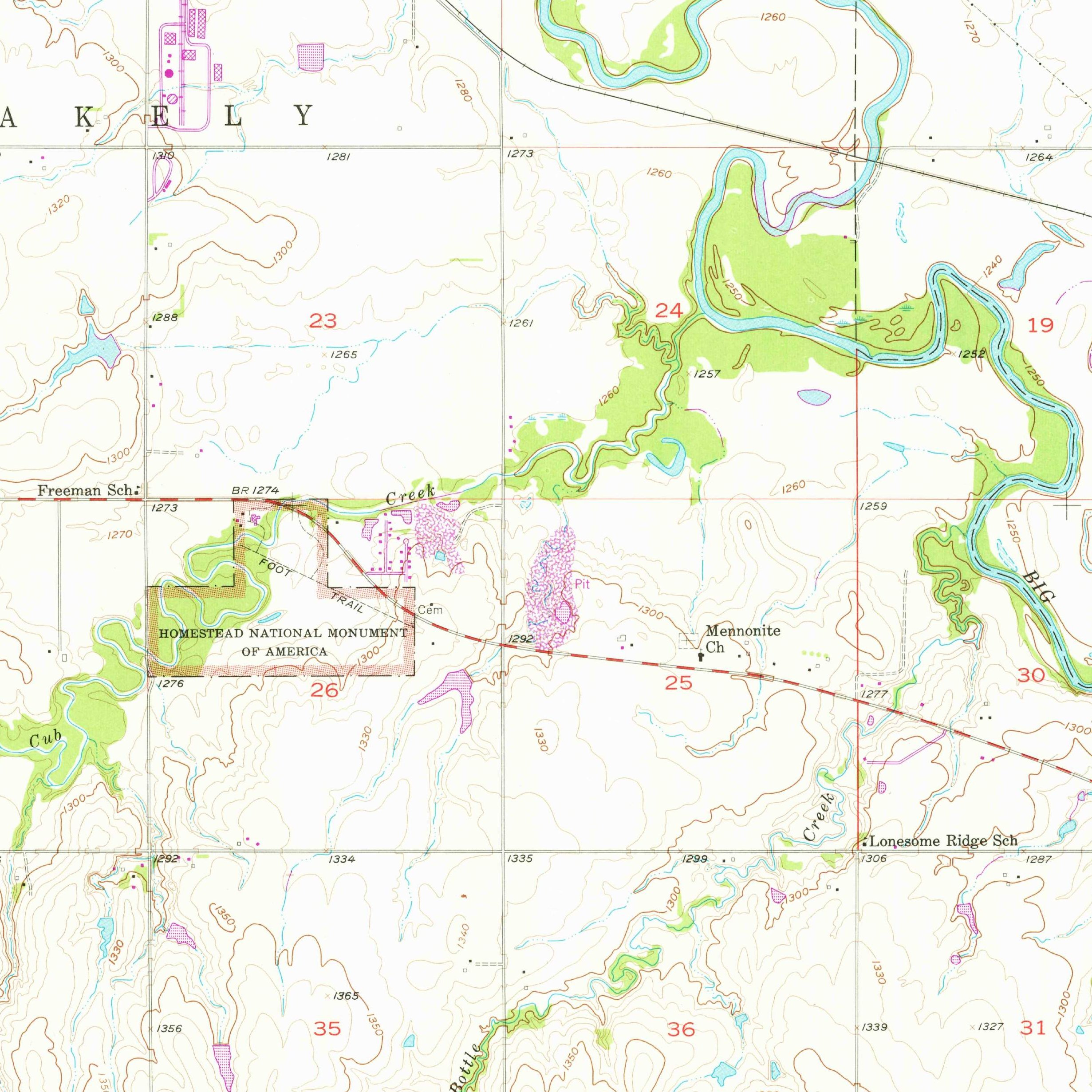
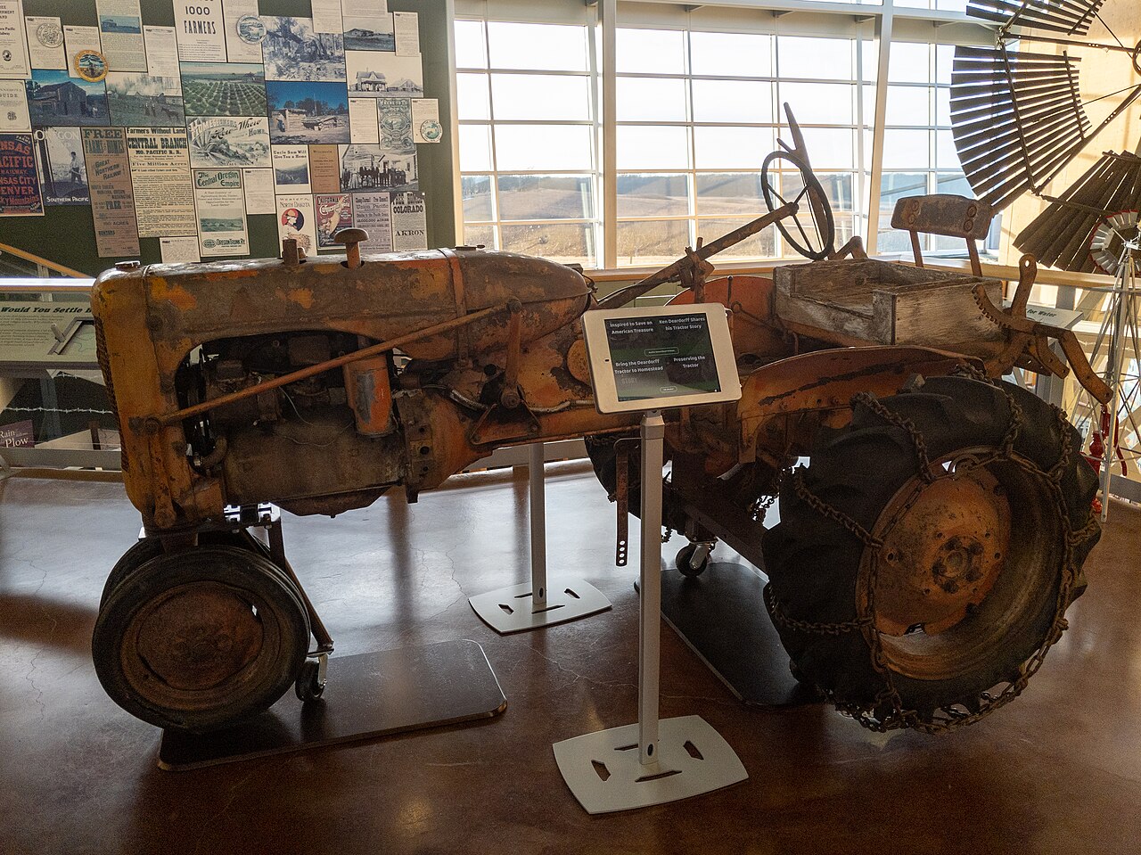
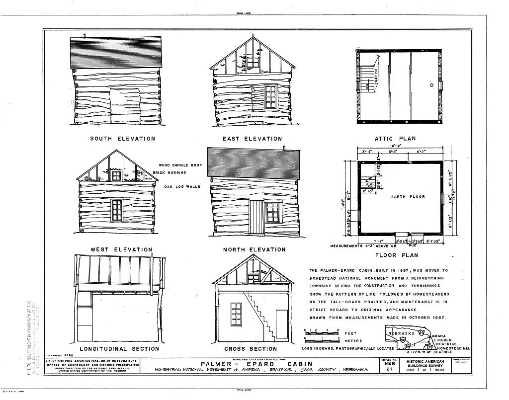
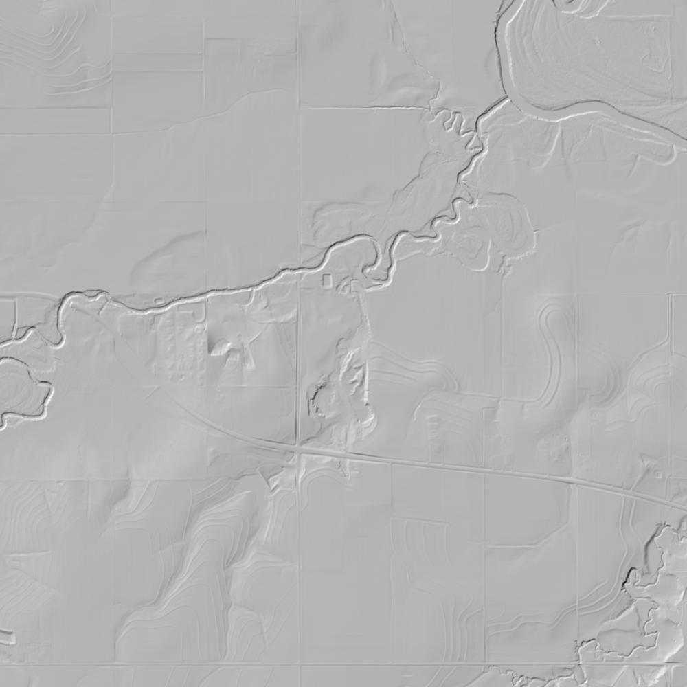
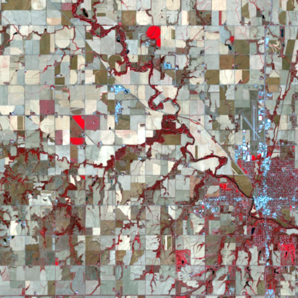
Aerial photographs, historical topographic surveys, lidar elevation, and ground imagery gathered for this place.
How to get more images
- USGS EarthExplorer (earthexplorer.usgs.gov, free account): Aerial Photo Single Frames, NHAP (1980–89, incl. color-infrared) and NAPP (1987–2007) covering this site. Medium-resolution scans download free; high-resolution film scans cost about $30 per frame (2–3 weeks).
- USDA FSA Aerial Photography Field Office (APFO, Salt Lake City): historic county-wide farm-program photos from the 1930s on, ordered by email/phone; scans run roughly $20–$50 per frame (check current price list).
- National Archives (College Park, Cartographic Branch): 1930s–1950s USDA/AAA aerials; free to view in person, reproductions through NARA's order service or approved vendors.
- the Nebraska State Archives / state historical society and the state university map library (ask about historic aerial prints and scans); the state GIS clearinghouse for lidar.
- HistoricAerials.com (NETR Online): stitched historic aerials and topos by address; downloads/prints priced per image (often about $30–$80 for personal use; commercial licensing extra).
- Commercial satellite (Maxar/Vantor, Airbus, Planet via resellers such as SkyWatch or Apollo Mapping): archive scenes from ~$10–$25/km² with small minimum orders; new tasking costs more.
- Drone flight: a local FAA Part 107 pilot typically charges about $200–$600 for a basic photo/video shoot of a parcel; ask the landowner or site manager for permission first.
This sample report was researched from public records and checked against its sources. Historical research, not title or boundary advice.
← All 50 states, places & stories · Original 50 Picks Archive · Start your own Land File