50 States, 50 Places & 50 Stories › Kansas
Kansas sample place
Nicodemus National Historic Site & Exoduster Homestead
Parcel at a glance
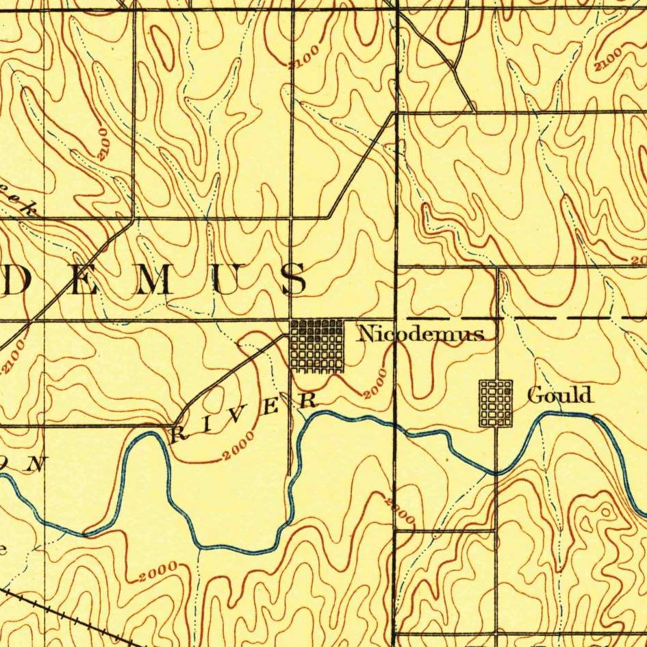
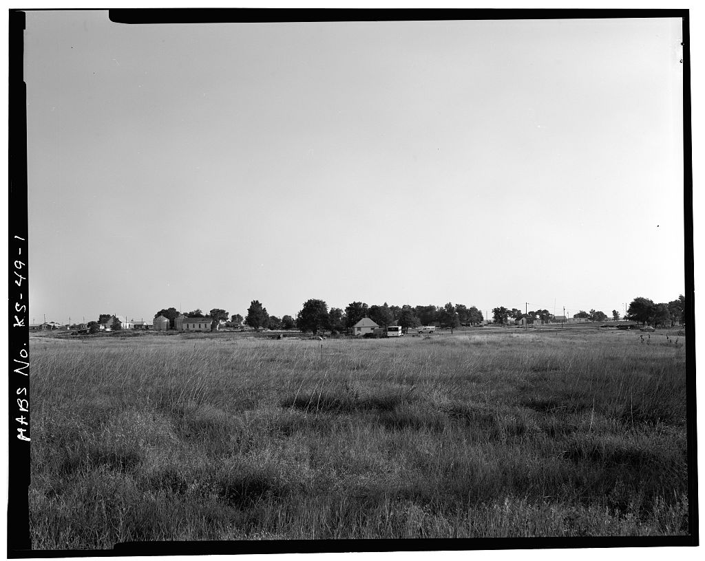
The Nicodemus National Historic Site and its adjoining homestead quarter-sections sit on the high plains terrace just north of the South Fork Solomon River in Graham County, Township 8 South, Range 21 West, Sections 1 and 16, Sixth Principal Meridian. Anchored on the five historic community buildings in the townsite of Nicodemus (owned by the National Park Service and the Nicodemus Historical Society), this parcel preserves the oldest surviving Western community established by African Americans after the Civil War.
The land before the survey
For centuries before American settlement, the shortgrass prairies and cottonwood-lined creek bottoms of the Solomon River basin were prime buffalo-hunting grounds of the Pawnee, Kansa (Kaw), Cheyenne, and Arapaho Nations. Following the 1854 Kansas-Nebraska Act and the treaties of the 1860s, General Land Office (GLO) deputy surveyors extended the Sixth Principal Meridian grid across Graham County between 1866 and 1871, laying out square 640-acre sections across the treeless high plains.
First owners and the paper trail
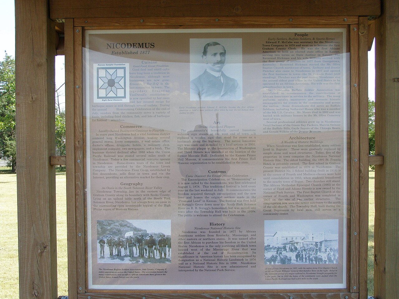
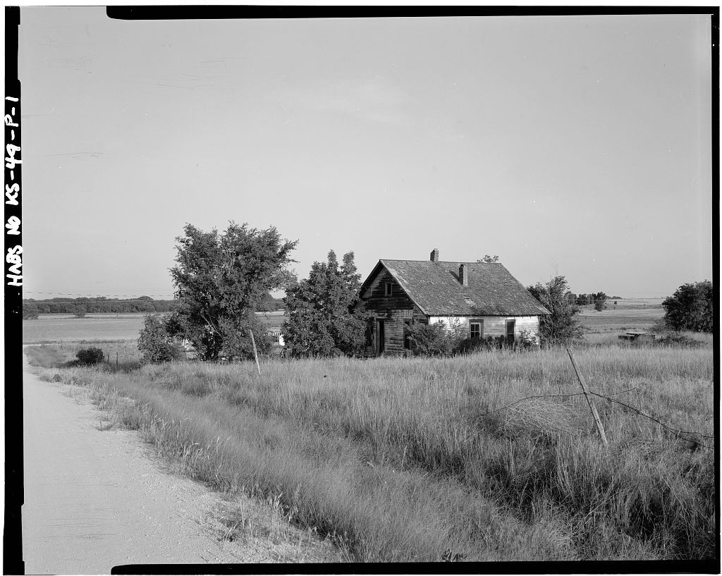
Founded in 1877 by an African American town company led by president W. H. Smith and promoter W. R. Hill, Nicodemus drew more than 300 Formerly Enslaved "Exodusters" from central Kentucky (including Lexington and Georgetown) to the Solomon Valley between 1877 and 1879. Settlers walked or rode wagons from the railroad depot at Ellis to the Kirwin and Wakeeney Land Offices to file federal Homestead (1862) and Timber Culture (1873) entries. Living initially in underground sod dugouts while breaking prairie sod with hand plows, families proved up their 160-acre patents and platted the Nicodemus townsite in Section 1. In the mid-20th century, as subsurface oil exploration reached Graham County, many family homesteads acquired severed or leased oil and gas mineral estates alongside dryland wheat farming before Congress established the National Historic Site in 1996.
School-trust connection
Under Section 3 of the Kansas Admission Act of January 29, 1861 (12 Stat. 126), Congress granted Sections 16 and 36 of every township to the state for the support of common schools. In Township 8 South, Range 21 West, Section 16 lies near the townsite ([TO CONFIRM]: exact position), where the state sold school-land parcels on installment contracts to build the Kansas Permanent School Fund while Nicodemus citizens organized Graham County School District No. 1 in 1879.
What records survive and where to look
- Digitized Homestead Proof files: The complete NARA Homestead and Timber Culture Final Proof files for the Nicodemus settlers—containing sworn neighbor testimonies detailing dugout sizes, wells, and crop yields—are digitized online via NARA and FamilySearch.
- State GIS, oil/gas logs & county deeds: Kansas ORKA GIS and the Kansas Geological Survey (KGS) provide free online oil, gas, and water-well logs, while Graham County deeds from 1880 forward are digitized on FamilySearch alongside the NPS Historic Resource Study.
What we are still confirming
- We are verifying the exact Graham County Deed Book and Page citations for the earliest recorded deeds on the five National Historic Site lots.
- The exact 1880s state school-land patent grantees and contract prices for neighboring Section 16, T8S, R21W.
Historical & landscape images
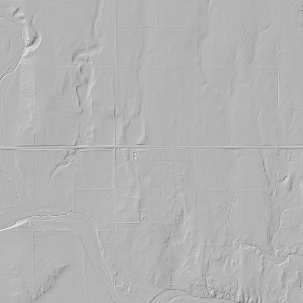
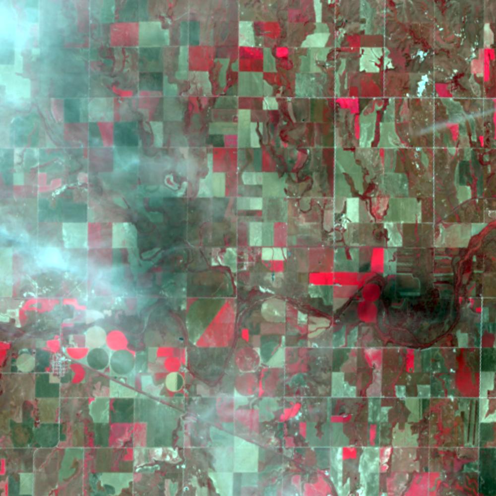
Aerial photographs, historical topographic surveys, lidar elevation, and ground imagery gathered for this place.
How to get more images
- USGS EarthExplorer (earthexplorer.usgs.gov, free account): Aerial Photo Single Frames, NHAP (1980–89, incl. color-infrared) and NAPP (1987–2007) covering this site. Medium-resolution scans download free; high-resolution film scans cost about $30 per frame (2–3 weeks).
- USDA FSA Aerial Photography Field Office (APFO, Salt Lake City): historic county-wide farm-program photos from the 1930s on, ordered by email/phone; scans run roughly $20–$50 per frame (check current price list).
- National Archives (College Park, Cartographic Branch): 1930s–1950s USDA/AAA aerials; free to view in person, reproductions through NARA's order service or approved vendors.
- the Kansas State Archives / state historical society and the state university map library (ask about historic aerial prints and scans); the state GIS clearinghouse for lidar.
- HistoricAerials.com (NETR Online): stitched historic aerials and topos by address; downloads/prints priced per image (often about $30–$80 for personal use; commercial licensing extra).
- Commercial satellite (Maxar/Vantor, Airbus, Planet via resellers such as SkyWatch or Apollo Mapping): archive scenes from ~$10–$25/km² with small minimum orders; new tasking costs more.
- Drone flight: a local FAA Part 107 pilot typically charges about $200–$600 for a basic photo/video shoot of a parcel; ask the landowner or site manager for permission first.
This sample report was researched from public records and checked against its sources. Historical research, not title or boundary advice.
← All 50 states, places & stories · Original 50 Picks Archive · Start your own Land File