50 States, 50 Places & 50 Stories › Iowa
Iowa sample place
Mines of Spain State Recreation Area (Dubuque Lead Bluffs)
Parcel at a glance
The Mines of Spain State Recreation Area sits on the steep, unglaciated limestone bluffs overlooking the Upper Mississippi River and Catfish Creek just south of Dubuque in Dubuque County, Township 88 North, Range 3 East, Sections 5, 6, 8, and 16, Fifth Principal Meridian. Owned today by the State of Iowa and managed by the Iowa Department of Natural Resources, this ~1,400-acre ([TO CONFIRM]: exact acreage) woodland and bluff property preserves 230 years of Indigenous, Spanish, and American lead mining and frontier title law.
The land before the survey
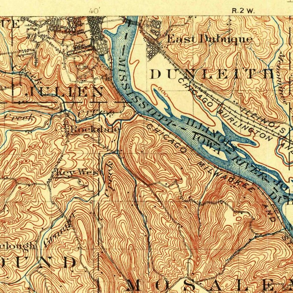
For centuries before European contact, the Meskwaki (Fox) and Sauk Nations mined surface seams of galena (lead ore) along the Catfish Creek bluffs. In 1788, the Meskwaki council at Prairie du Chien granted French-Canadian trader Julien Dubuque permission to work the mines along the west bank of the Mississippi, and in 1796 Spanish Governor Baron de Carondelet confirmed Dubuque's petition for the "Mines of Spain." Following the 1832 Black Hawk Purchase treaty, federal deputy surveyors ran the Fifth Principal Meridian grid across the Dubuque bluffs between 1833 and 1837, mapping lead furnaces, miner diggings, and white oak ridges.
First owners and the paper trail
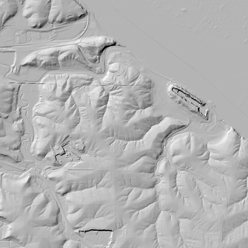
Because early federal statutes reserved mineral lands from sale, the U.S. War Department initially leased small mineral lots on these bluffs to lead miners in the 1830s, until the Mineral Land Sale Act of July 11, 1846 (9 Stat. 37) opened the lead region to Preemption, Cash Entry, and Military Bounty patents. Meanwhile, St. Louis merchants who had bought Julien Dubuque's debt claims sued a local preemption patentee all the way to the U.S. Supreme Court, claiming the 1796 Spanish grant gave them fee-simple title to 21 miles of the Mississippi riverfront. In Chouteau v. Molony, 57 U.S. 203 (1853), the Supreme Court ruled that the 1788 Meskwaki and 1796 Spanish instruments were only a personal mining permit—validating every settler's federal patent in Dubuque County. Across the park's forested ridges today, 1-meter bare-earth lidar still reveals hundreds of 1830s–1850s hand-dug lead shafts and "badger holes" before the State of Iowa purchased the estate in 1980.
School-trust connection
Under the Iowa Admission Act of March 3, 1845 (5 Stat. 789, effective Dec. 28, 1846), Congress granted Section 16 in every township to the state for public schools. Section 16 of T88N, R3E lies by the Mines of Spain tract ([TO CONFIRM]: exact position), where the Dubuque County School Fund Commissioner subdivided and sold the section in the late 1840s and 1850s to help build Iowa's Permanent School Fund.
What records survive and where to look
- Statewide Deeds, 1930s Aerials & Lidar: The Iowa Land Records portal, Dubuque County Beacon GIS, and the Iowa Geographic Map Server (hosting 1930s statewide USDA aerials and 1-meter lidar showing historic lead pits) are all free online.
- Courthouse Microfilm & Supreme Court File: Complete Dubuque County Deed Books and School Fund Commissioner Section 16 Patent Books back to 1836 are digitized on FamilySearch alongside the 1853 Chouteau v. Molony court record.
What we are still confirming
- The exact 1830s U.S. War Department lead-agent mineral lease numbers (in NARA Record Group 49/156) for the mining lots in Sections 5 and 8 prior to the 1846 fee patents.
Historical & landscape images
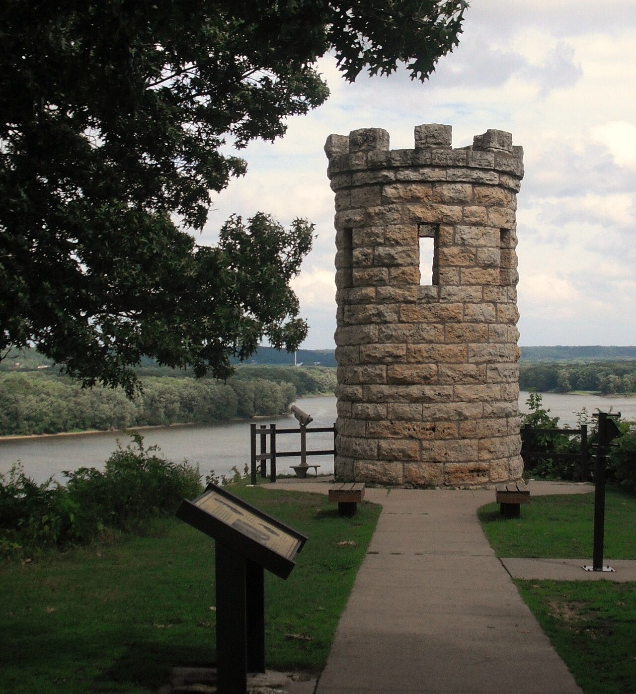
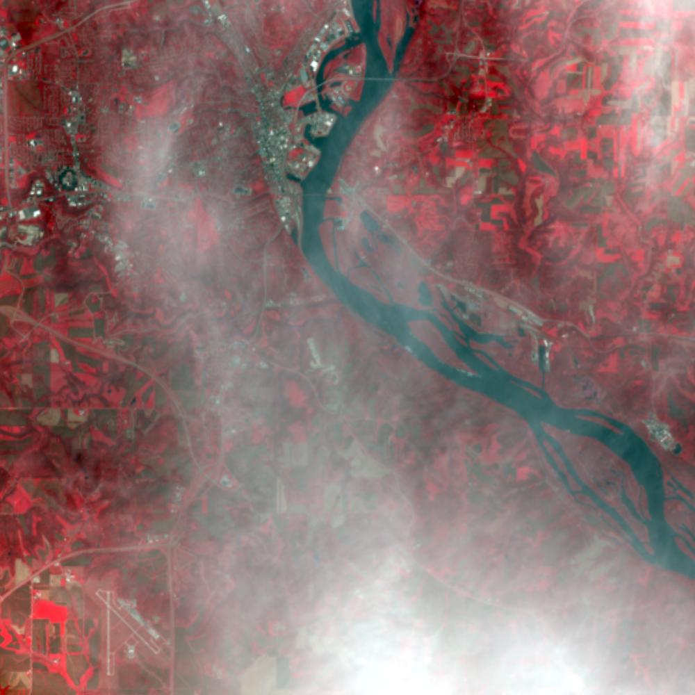
Aerial photographs, historical topographic surveys, lidar elevation, and ground imagery gathered for this place.

How to get more images
- USGS EarthExplorer (earthexplorer.usgs.gov, free account): Aerial Photo Single Frames, NHAP (1980–89, incl. color-infrared) and NAPP (1987–2007) covering this site. Medium-resolution scans download free; high-resolution film scans cost about $30 per frame (2–3 weeks).
- USDA FSA Aerial Photography Field Office (APFO, Salt Lake City): historic county-wide farm-program photos from the 1930s on, ordered by email/phone; scans run roughly $20–$50 per frame (check current price list).
- National Archives (College Park, Cartographic Branch): 1930s–1950s USDA/AAA aerials; free to view in person, reproductions through NARA's order service or approved vendors.
- Iowa Geospatial Data Clearinghouse historic aerials (free) and State Historical Society of Iowa.
- HistoricAerials.com (NETR Online): stitched historic aerials and topos by address; downloads/prints priced per image (often about $30–$80 for personal use; commercial licensing extra).
- Commercial satellite (Maxar/Vantor, Airbus, Planet via resellers such as SkyWatch or Apollo Mapping): archive scenes from ~$10–$25/km² with small minimum orders; new tasking costs more.
- Drone flight: a local FAA Part 107 pilot typically charges about $200–$600 for a basic photo/video shoot of a parcel; ask the landowner or site manager for permission first.
This sample report was researched from public records and checked against its sources. Historical research, not title or boundary advice.
← All 50 states, places & stories · Original 50 Picks Archive · Start your own Land File