50 States, 50 Places & 50 Stories › Indiana
Indiana sample place
Vincennes University Commons & French Donation Collision
Parcel at a glance
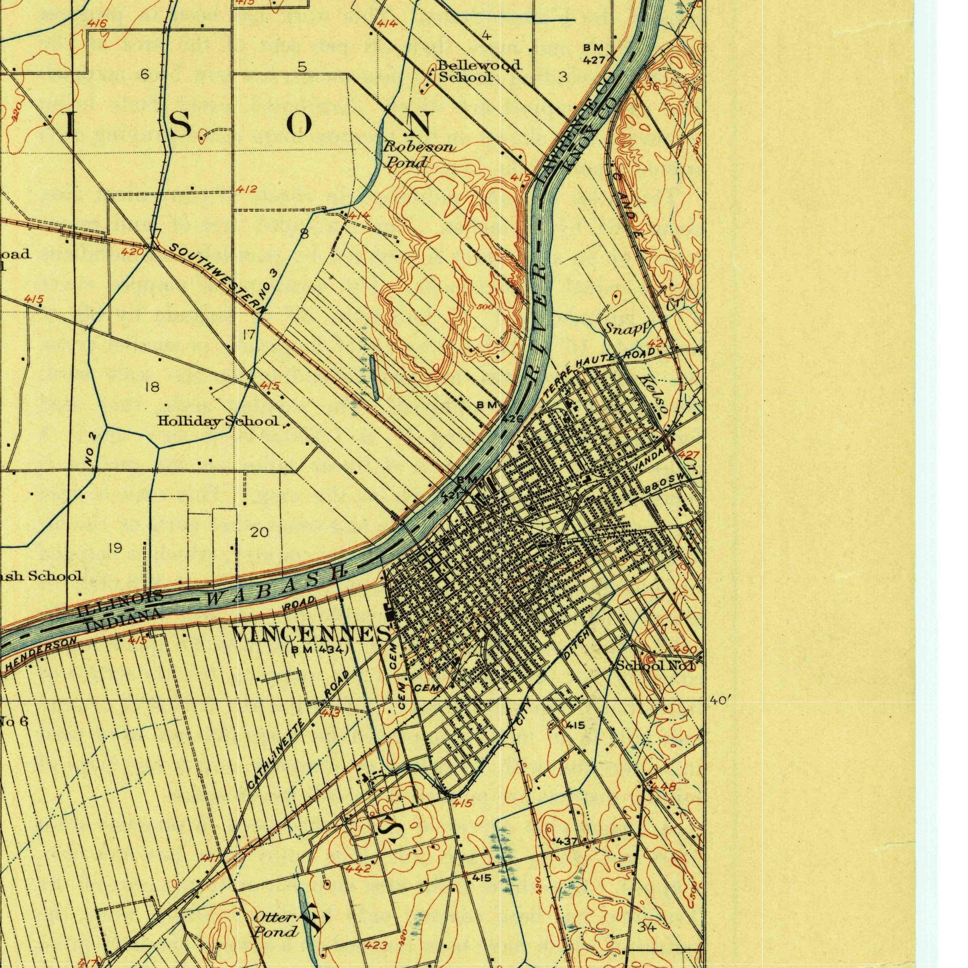
The Vincennes University Commons and French Donation Collision corridor sits along the Wabash River at Vincennes in Knox County, Township 3 North, Range 10 West, Second Principal Meridian (and the 1788 Vincennes French Donation Survey). Anchored on the public campus and commons of Vincennes University (founded in 1801/1806), this parcel showcases a dramatic survey junction where three different land systems crash into one another on the map.
The land before the survey
For centuries, the Wabash River crossing at Vincennes was the homeland of the Piankeshaw (a band of the Miami Nation), who welcomed French traders when François-Marie Bissot, Sieur de Vincennes, established a French colonial post here in 1732. Early French families laid out narrow riverfront ribbon farms measured in arpents perpendicular to the Wabash River, backed by a shared 5,000-acre livestock pasture known as the Vincennes Commons. After George Rogers Clark's 1779 campaign and the 1803/1809 Treaties of Vincennes and Fort Wayne with the Piankeshaw and Miami, U.S. deputy surveyors arrived to tie the old French surveys into the new Second Principal Meridian rectangular grid.
First owners and the paper trail
To honor promises made to the French inhabitants who became U.S. citizens in 1783, the Continental Congress in 1788 and Congress in the Act of March 3, 1791 (1 Stat. 221) granted a 400-acre "Donation Tract" to the head of every early French family at Vincennes. Surveyed in a giant diamond-shaped block tilted at a 45-degree angle northeast of town and drawn by lottery, these 400-acre French Donation Tracts were adjudicated by a Federal Board of Land Commissioners in 1806, while Congress simultaneously confirmed the Vincennes Commons and chartered Indiana Territory's first college, Vincennes University.
School-trust connection
This ground connects two milestone school-trust stories. First, in Knox County, the 45-degree French Donation Tracts and arpent strips sliced straight across Section 16 school lands granted under the 1816 Indiana Enabling Act (3 Stat. 289), requiring fractional school-section selections. Second, Congress in 1804 reserved an entire 23,040-acre township in neighboring Gibson County to endow Vincennes University. When the Indiana legislature seized and sold off that university township in the 1820s, the trustees sued all the way to the U.S. Supreme Court and won in Trustees for Vincennes University v. State of Indiana, 55 U.S. 268 (1852)—establishing a landmark precedent that state legislatures cannot confiscate educational trust grants.
What records survive and where to look
- 1806 French Claim Proofs & GLO Plats: The BLM GLO portal hosts the 1806–1807 plats showing arpents, 45-degree Donation Tracts, and PLSS sections colliding, while American State Papers (Public Lands) prints the 1806 Land Commissioners' testimony for every French family claim.
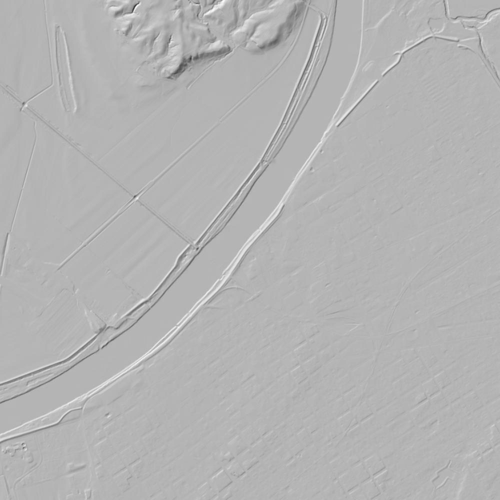
- State GIS, Court Files & Deeds: Statewide IndianaMAP provides open parcels and 1-meter lidar, the 1852 U.S. Supreme Court record is online, and Knox County deeds from 1814 forward are digitized on FamilySearch.
What we are still confirming
- Because the earliest territorial deed books may be incomplete ([TO CONFIRM]: the reported 1814 records loss), we are checking the 1806 Federal Land Commissioners' register and Vincennes University's early board minutes to confirm the exact pre-1814 boundary conveyances along the Commons edge.
Historical & landscape images
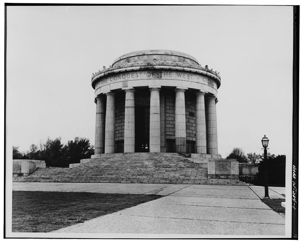
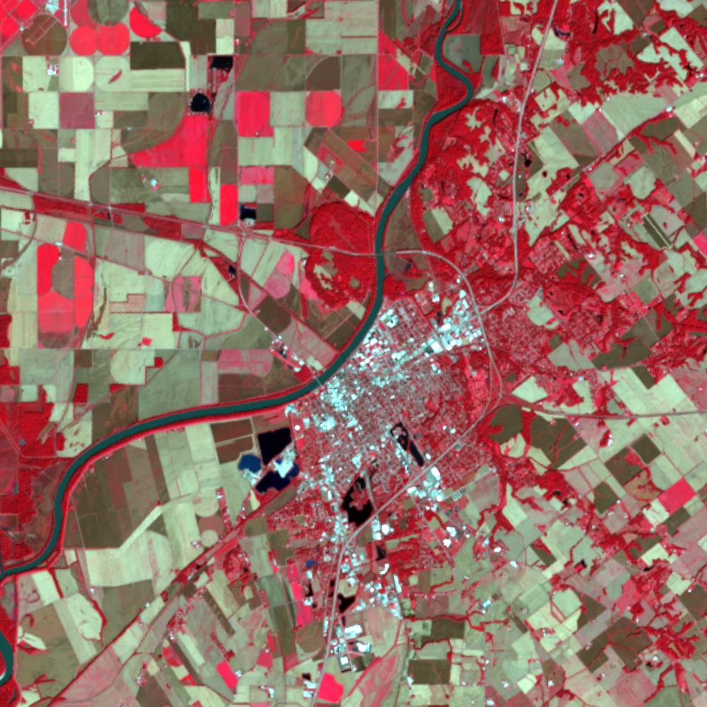
Aerial photographs, historical topographic surveys, lidar elevation, and ground imagery gathered for this place.

How to get more images
- USGS EarthExplorer (earthexplorer.usgs.gov, free account): Aerial Photo Single Frames, NHAP (1980–89, incl. color-infrared) and NAPP (1987–2007) covering this site. Medium-resolution scans download free; high-resolution film scans cost about $30 per frame (2–3 weeks).
- USDA FSA Aerial Photography Field Office (APFO, Salt Lake City): historic county-wide farm-program photos from the 1930s on, ordered by email/phone; scans run roughly $20–$50 per frame (check current price list).
- National Archives (College Park, Cartographic Branch): 1930s–1950s USDA/AAA aerials; free to view in person, reproductions through NARA's order service or approved vendors.
- IndianaMap historic aerials and Indiana State Library.
- HistoricAerials.com (NETR Online): stitched historic aerials and topos by address; downloads/prints priced per image (often about $30–$80 for personal use; commercial licensing extra).
- Commercial satellite (Maxar/Vantor, Airbus, Planet via resellers such as SkyWatch or Apollo Mapping): archive scenes from ~$10–$25/km² with small minimum orders; new tasking costs more.
- Drone flight: a local FAA Part 107 pilot typically charges about $200–$600 for a basic photo/video shoot of a parcel; ask the landowner or site manager for permission first.
This sample report was researched from public records and checked against its sources. Historical research, not title or boundary advice.
← All 50 states, places & stories · Original 50 Picks Archive · Start your own Land File