50 States, 50 Places & 50 Stories › Illinois
Illinois sample place
Dickson Mounds State Museum & Military Tract Bluff
Parcel at a glance
The Dickson Mounds State Museum and Military Tract Bluff parcel sits on the steep wind-blown loess bluffs overlooking the confluence of the Illinois and Spoon Rivers near Lewistown in Fulton County, Township 4 North, Range 3 East, Sections 1, 12, and 16, Fourth Principal Meridian. Owned today by the State of Illinois (Illinois State Museum), this [TO CONFIRM]-acre blufftop and bottomland-edge property lies inside the historic 3.5-million-acre Illinois Military Tract.
The land before the survey
For more than 12,000 years, the Illinois River Valley was a major cultural crossroads of North America. Between roughly 800 and 1250 CE, ancestral Indigenous communities of the Mississippian tradition built villages and a major ceremonial and burial mound complex along this bluff crest. In the 18th and early 19th centuries, the valley was the homeland of the Peoria (Illinois Confederation), Potawatomi, Kickapoo, and Sauk and Meskwaki peoples. Following disputed cessions in 1804 and 1816, Congress designated the peninsula between the Illinois and Mississippi Rivers as bounty land for War of 1812 soldiers, and GLO deputy surveyors ran the Fourth Principal Meridian across Fulton County in 1815–1817.
First owners and the paper trail
Beginning in October 1817, veterans of the War of 1812 drew 160-acre Military Bounty Land Warrants from lottery wheels in Washington, D.C. Because Congress barred soldiers from selling their warrants before the patent issued, speculators waited on the steps of the General Land Office to buy the patents for pennies on the dollar—or bought up county tax-delinquency deeds in the 1820s when eastern veterans failed to pay Illinois property taxes. That collision between "Patent Titles" and "Tax Titles" filled Illinois court dockets for thirty years. In the 1830s–1860s, the Dickson family consolidated the blufftop farmstead and planted apple orchards, while bottomland neighbors below the bluff organized statutory Illinois River levee and drainage districts, before Don Dickson began excavating the mounds in 1927 and ran a private museum; the State of Illinois bought the museum and 19.5 acres from the Dickson family in 1945, and the site joined the Illinois State Museum in 1965.
School-trust connection
Under Section 6 of the Illinois Enabling Act of April 18, 1818 (3 Stat. 428), Congress granted Section 16 in every township for the use of schools. Because War of 1812 military patents were legally barred from locating on Section 16, Section 16 of T4N, R3E remained intact—and in the 1830s, local Township School Trustees subdivided the timbered bluff and bottomland section into small 20- and 40-acre woodlots sold at public auction so prairie farmers could secure fence rails and firewood while endowing the local township school fund.
What records survive and where to look
- State Public Domain & School Sales Database: The Illinois State Archives hosts a free online database listing every original patent and every itemized 1830s Section 16 School Sale in T4N, R3E.
- Military Tract Deeds & GLO files: 1815–1817 survey notes and War of 1812 warrant patents are on the BLM GLO portal, Fulton County GIS is online, and Fulton County deeds back to 1818 (including the special state Military Tract deed registers) are digitized on FamilySearch.
What we are still confirming
- The exact 1820s–1830s deed link between the out-of-state War of 1812 patentee and the first resident Fulton County settler on the Section 1 bluff tract.
- The exact Fulton County recording book and page for the 20th-century Spoon/Illinois River drainage district easements below the bluff.
Historical & landscape images
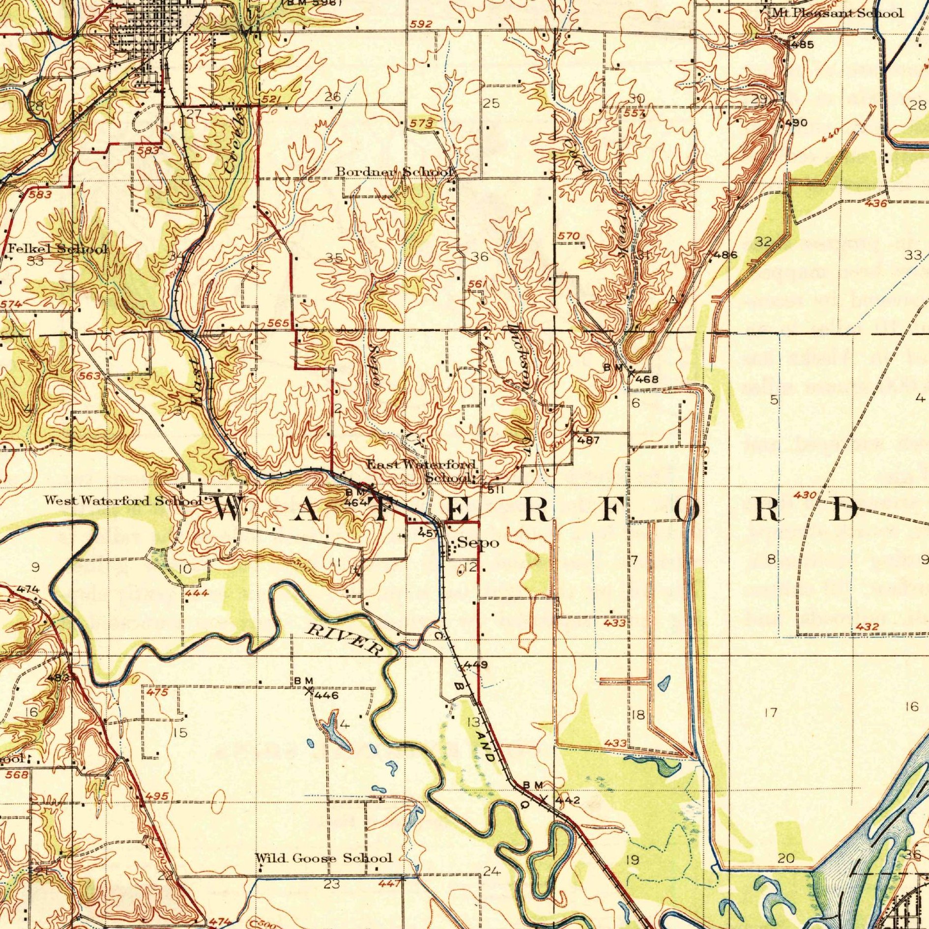
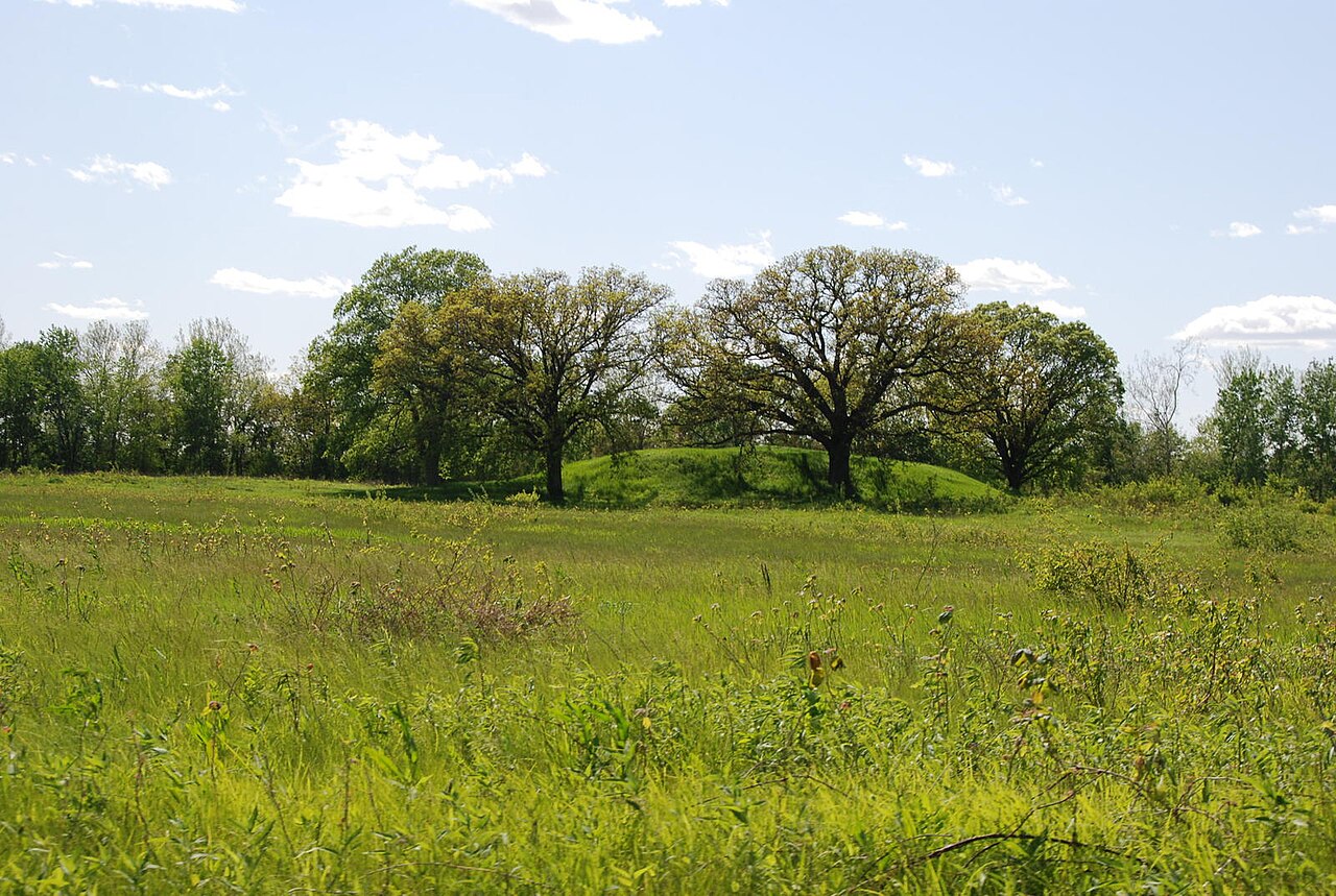
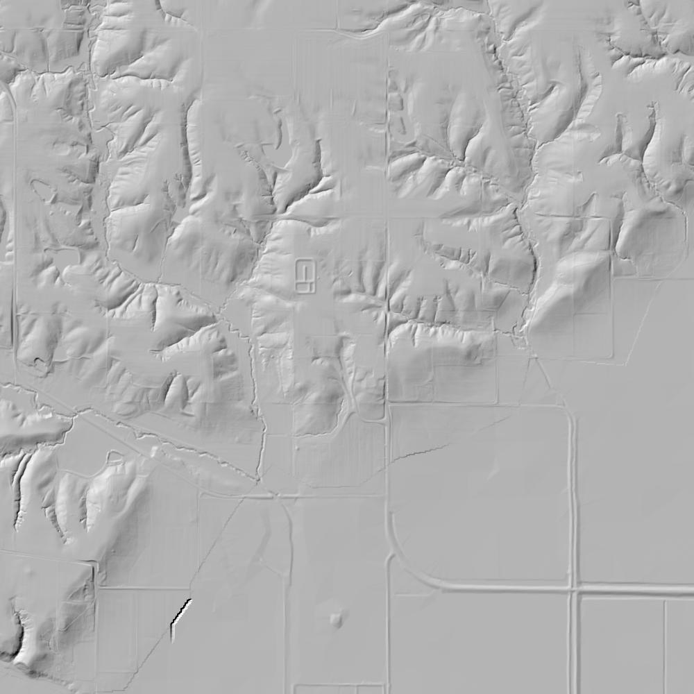
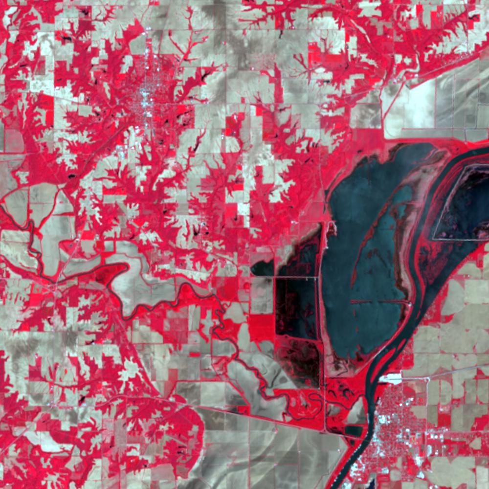
Aerial photographs, historical topographic surveys, lidar elevation, and ground imagery gathered for this place.

How to get more images
- USGS EarthExplorer (earthexplorer.usgs.gov, free account): Aerial Photo Single Frames, NHAP (1980–89, incl. color-infrared) and NAPP (1987–2007) covering this site. Medium-resolution scans download free; high-resolution film scans cost about $30 per frame (2–3 weeks).
- USDA FSA Aerial Photography Field Office (APFO, Salt Lake City): historic county-wide farm-program photos from the 1930s on, ordered by email/phone; scans run roughly $20–$50 per frame (check current price list).
- National Archives (College Park, Cartographic Branch): 1930s–1950s USDA/AAA aerials; free to view in person, reproductions through NARA's order service or approved vendors.
- the Illinois State Archives / state historical society and the state university map library (ask about historic aerial prints and scans); the state GIS clearinghouse for lidar.
- HistoricAerials.com (NETR Online): stitched historic aerials and topos by address; downloads/prints priced per image (often about $30–$80 for personal use; commercial licensing extra).
- Commercial satellite (Maxar/Vantor, Airbus, Planet via resellers such as SkyWatch or Apollo Mapping): archive scenes from ~$10–$25/km² with small minimum orders; new tasking costs more.
- Drone flight: a local FAA Part 107 pilot typically charges about $200–$600 for a basic photo/video shoot of a parcel; ask the landowner or site manager for permission first.
This sample report was researched from public records and checked against its sources. Historical research, not title or boundary advice.
← All 50 states, places & stories · Original 50 Picks Archive · Start your own Land File