50 States, 50 Places & 50 Stories › Georgia
Georgia sample place
New Echota State Historic Site (1832 Cherokee Land Lottery)
Parcel at a glance
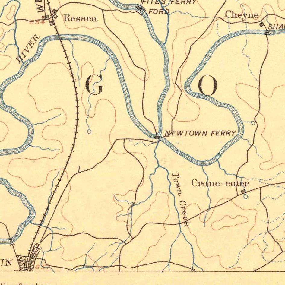
New Echota State Historic Site sits at the confluence of the Oostanaula and Coosawattee Rivers just northeast of Calhoun in Gordon County (originally Cherokee County), 14th District, 3rd Section, 160-Acre Land Lots 147 and 148. Owned today by the Georgia Department of Natural Resources, this 200-acre river-bottom and woodland parcel preserves the planned capital of the Cherokee Nation and showcases Georgia's unique state-built rectangular Land Lottery grid.
The land before the survey
Established in 1825 at the sacred town site of Gansagi, New Echota served from 1825 to 1838 as the constitutional capital of the Sovereign Cherokee Nation—home to the National Council House, the Cherokee Supreme Court, Samuel Worcester's missionary station, and Elias Boudinot's bilingual newspaper, the Cherokee Phoenix. Although Georgia was an original thirteen-colony state with no federal PLSS grid, between 1805 and 1833 the State of Georgia engineered its own state-run rectangular survey system. In 1831–1832, while the U.S. Supreme Court was hearing Worcester v. Georgia, Georgia state surveyors ran compass lines right across the Cherokee Nation, dividing it into four "Sections," 9-mile-square Land Districts, and square 160-acre Land Lots (plus 40-acre Gold Lots).
First owners and the paper trail
In the 1832 Georgia Land Lottery, eligible white Georgia citizens registered in their home counties, and "Fortunate Drawers" drew the 160-acre lots covering New Echota (Lots 147, 148, and adjoining river fractions in the 14th District, 3rd Section) from lottery drums at the state capital in Milledgeville. After a small Cherokee faction signed the contested 1835 Treaty of New Echota in the home of Elias Boudinot on this ground—leading to the forced 1838 Trail of Tears removal—the lottery winners received large wax-seal State of Georgia Grants. The former Cherokee capital streets reverted to private cotton and corn farms for over a century until Calhoun citizens rediscovered the town site in 1953 and raised money to buy it; in 1956 the New Echota Foundation deeded about 200 acres to the Georgia Historical Commission, and the site opened to the public in May 1962.
School-trust connection
Because Georgia distributed its western territories by lottery rather than reserving a federal Section 16, its public-education land story turns on two early state endowments: the 1783–1784 County Academy and University of Georgia land grants, and the 1817 Georgia Poor School and Academy Funds, ([TO CONFIRM]: the specific revenue sources of these funds).
What records survive and where to look
- 1836 Cherokee Valuations: NARA Record Group 75 preserves the federal agents' 1836 item-by-item property valuations at New Echota, listing named Cherokee citizens' homes, ferries, apple trees, and fenced fields prior to Removal.
- State Lottery Archives & County GIS: The Georgia Archives Virtual Vault provides free scans of the 1832 Lottery Grant Books and the original 1832 Surveyor's Plat of the 14th District, 3rd Section; Gordon County's qPublic GIS and the statewide GSCCCA deed index are online; and post-1850 Gordon County deeds are on FamilySearch.
What we are still confirming
- The exact names of the 1832 "Fortunate Drawers" on the wax-seal State Grants for Land Lots 147 and 148 and the fractional lots along the Oostanaula River.
- The pre-1850 deed conveyances recorded in parent Cass (Bartow) County before Gordon County was created in 1850.
Historical & landscape images
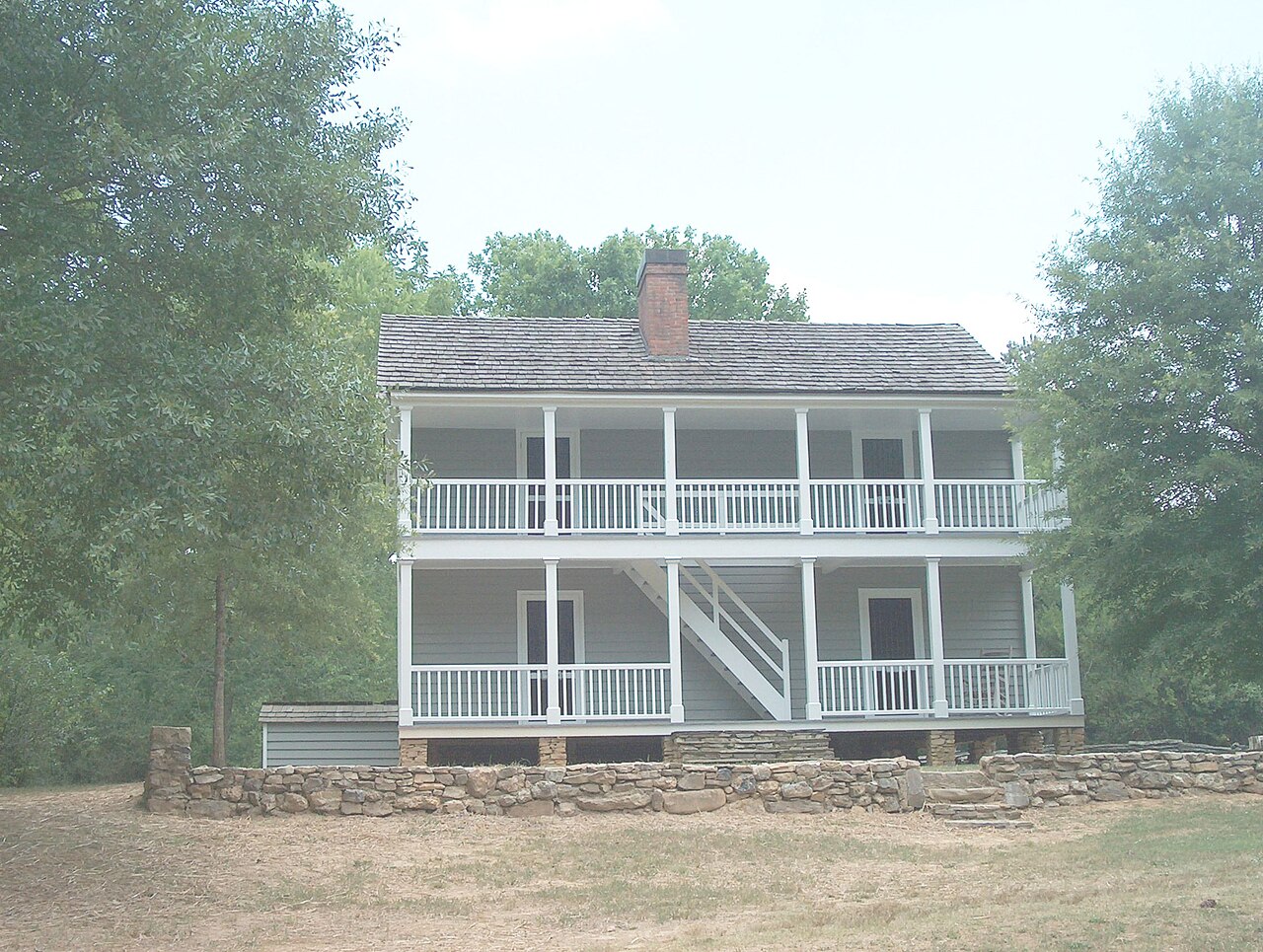
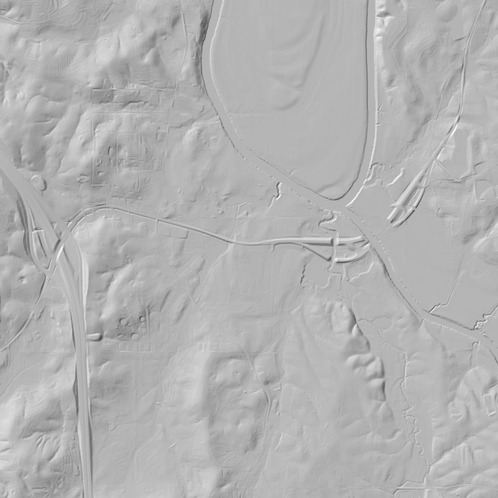
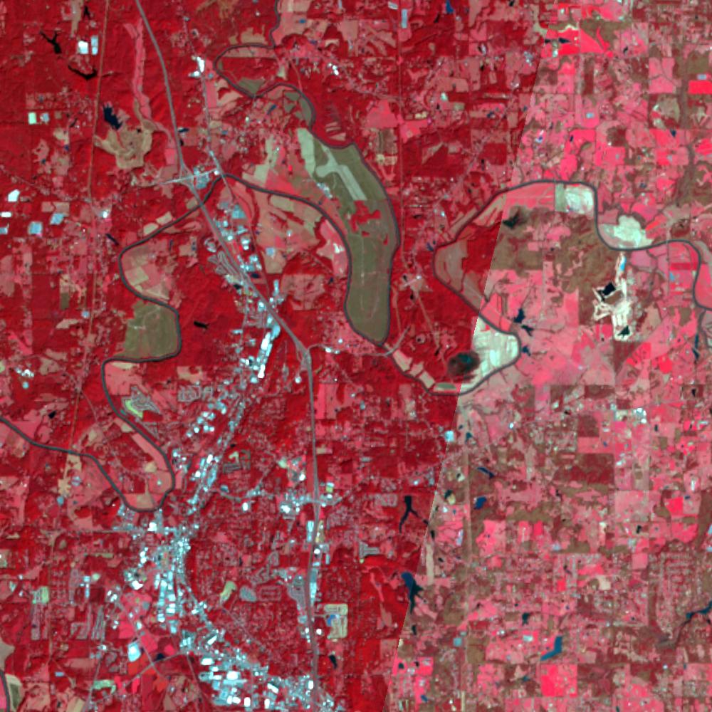
Aerial photographs, historical topographic surveys, lidar elevation, and ground imagery gathered for this place.
How to get more images
- USGS EarthExplorer (earthexplorer.usgs.gov, free account): Aerial Photo Single Frames, NHAP (1980–89, incl. color-infrared) and NAPP (1987–2007) covering this site. Medium-resolution scans download free; high-resolution film scans cost about $30 per frame (2–3 weeks).
- USDA FSA Aerial Photography Field Office (APFO, Salt Lake City): historic county-wide farm-program photos from the 1930s on, ordered by email/phone; scans run roughly $20–$50 per frame (check current price list).
- National Archives (College Park, Cartographic Branch): 1930s–1950s USDA/AAA aerials; free to view in person, reproductions through NARA's order service or approved vendors.
- the Georgia State Archives / state historical society and the state university map library (ask about historic aerial prints and scans); the state GIS clearinghouse for lidar.
- HistoricAerials.com (NETR Online): stitched historic aerials and topos by address; downloads/prints priced per image (often about $30–$80 for personal use; commercial licensing extra).
- Commercial satellite (Maxar/Vantor, Airbus, Planet via resellers such as SkyWatch or Apollo Mapping): archive scenes from ~$10–$25/km² with small minimum orders; new tasking costs more.
- Drone flight: a local FAA Part 107 pilot typically charges about $200–$600 for a basic photo/video shoot of a parcel; ask the landowner or site manager for permission first.
This sample report was researched from public records and checked against its sources. Historical research, not title or boundary advice.
← All 50 states, places & stories · Original 50 Picks Archive · Start your own Land File