50 States, 50 Places & 50 Stories › Florida
Florida sample place
Marjorie Kinnan Rawlings State Park (Arredondo Grant Edge)
Parcel at a glance
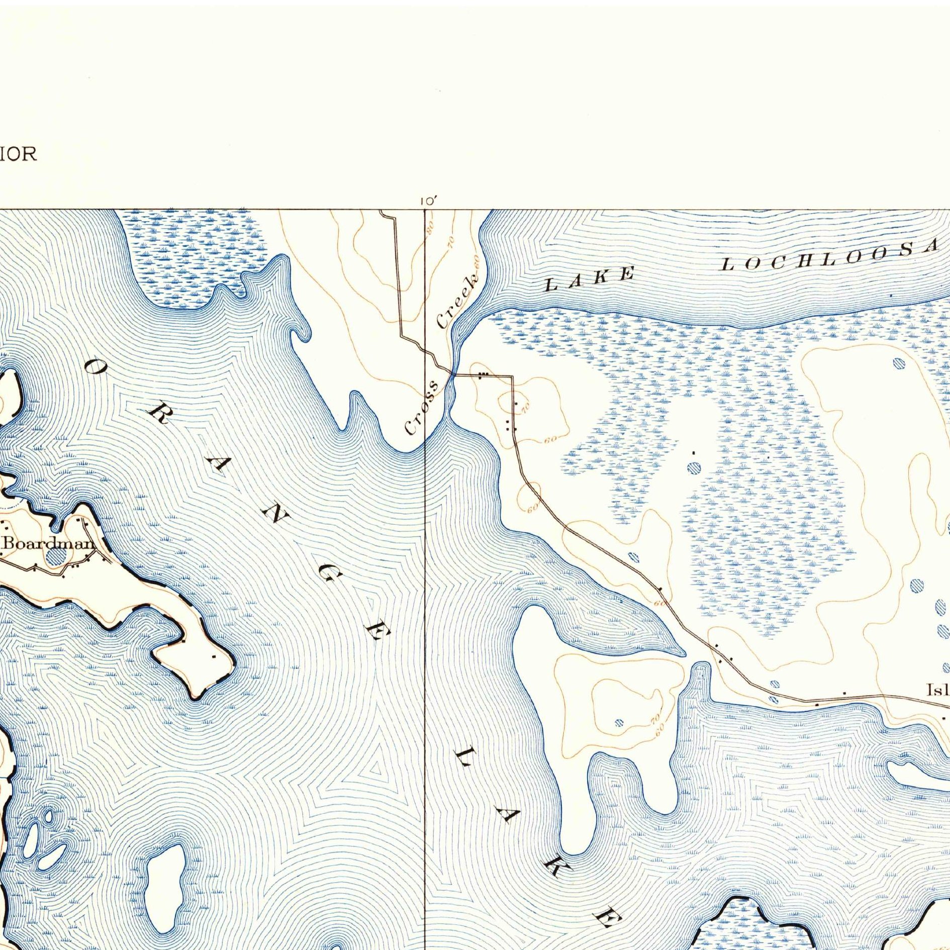
Marjorie Kinnan Rawlings Historic State Park sits on a narrow hardwood-and-citrus hammock between Orange and Lochloosa Lakes at Cross Creek in Alachua County, Township 11 South, Range 21 East, Sections 6 and 16 (and the Spanish Arredondo Grant), Tallahassee Meridian. Owned by the State of Florida and the University of Florida Foundation, this 72-acre orange grove and farmstead sits right on the survey line where Spanish colonial Florida collided with the American rectangular grid.
The land before the survey
For centuries, the fertile lake country of north-central Florida was the homeland of the Potano (Timucua) people and, from the 1700s onward, the heartland of the Alachua Seminole Nation under leaders such as Cowkeeper (Ahaya), King Payne, and Micanopy. In December 1817, while Florida was still under Spanish rule, Crown authorities in Havana granted merchant Don Fernando de la Maza Arredondo a 289,645-acre square tract centered on Alachua. After the U.S. Supreme Court confirmed the Arredondo Grant in 1832 (U.S. v. Arredondo, 31 U.S. 691), U.S. deputy surveyors running the Tallahassee Meridian had to terminate their standard section lines along the diagonal Spanish grant boundary.
First owners and the paper trail
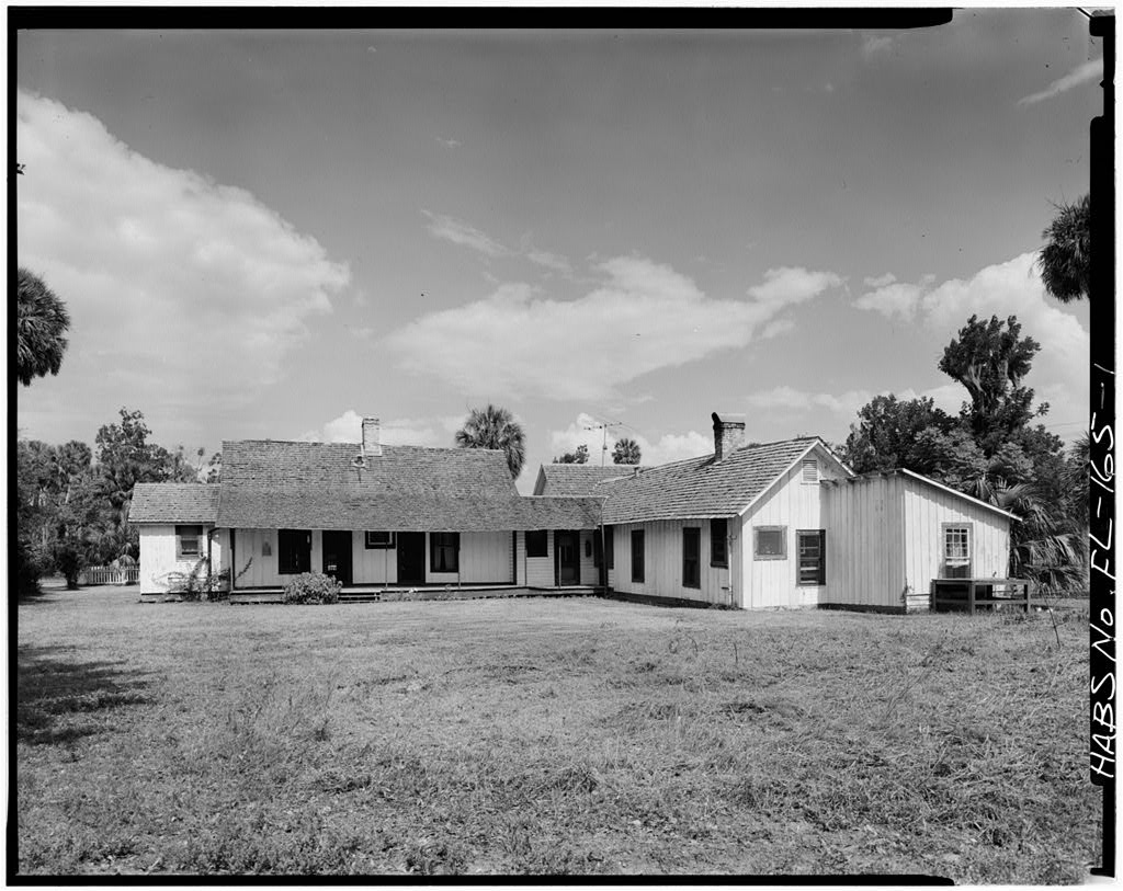
Just across the creek and lakeshore outside the Arredondo Grant line, Congress enacted the Armed Occupation Act of August 4, 1842 (5 Stat. 502) at the end of the Second Seminole War—the direct forerunner of the 1862 Homestead Act, granting 160 acres free to any settler who built a house, cleared five acres, and stood ready to bear arms south of Palatka. Inside the Arredondo boundary, a mid-1800s court partition ([TO CONFIRM]: court and dates) divided the Spanish grant into numbered tracts sold to cotton and citrus planters. Protected from winter freezes by the twin lakes, post-Civil War homesteaders planted orange groves at Cross Creek. Author Marjorie Kinnan Rawlings bought the 72-acre grove and cracker farmhouse in 1928, wrote The Yearling on its porch, and left the property to the University of Florida in 1953.
School-trust connection
Under the Florida Admission Act of March 3, 1845 (5 Stat. 788), Congress granted Section 16 in every township for public schools. Because the confirmed Spanish Arredondo Grant and early Armed Occupation permits swallowed or fractured Section 16 along the Cross Creek township boundary, the State of Florida selected equivalent indemnity school lands ([TO CONFIRM]: selecting body and lists) elsewhere to make the state school fund whole.
What records survive and where to look
- Clerk's Ancient Records & LABINS: The Alachua County Clerk's online Ancient Records Archive provides free high-resolution scans of deeds and Arredondo partition records back to the 1820s, while Florida DEP's LABINS portal hosts free scans of the 1830s–1850s GLO survey field notes, Spanish Grant plats, and TIIF state school/swamp deeds.
- Spanish grant translations: The WPA's 5-volume Spanish Land Grants in Florida translations and NARA's Armed Occupation Act permit registers are digitized online.
What we are still confirming
- The exact tract number assigned to the Cross Creek hammock parcel in the 1849 Alachua Circuit Court Arredondo Partition Decree.
- The specific TIIF Indemnity Selection List citation replacing the displaced portion of Section 16 in T11S, R21E.
Historical & landscape images
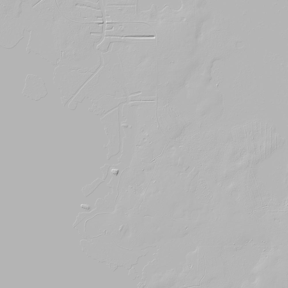
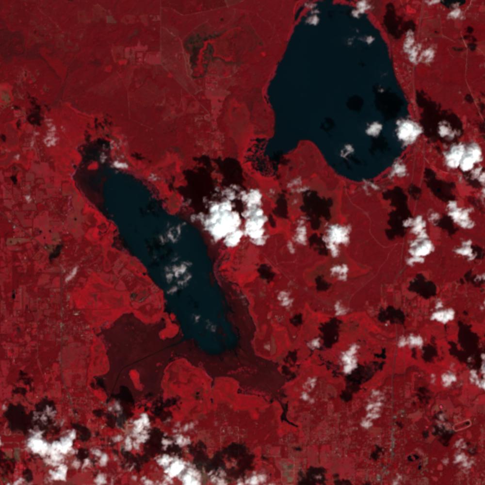
Aerial photographs, historical topographic surveys, lidar elevation, and ground imagery gathered for this place.

How to get more images
- USGS EarthExplorer (earthexplorer.usgs.gov, free account): Aerial Photo Single Frames, NHAP (1980–89, incl. color-infrared) and NAPP (1987–2007) covering this site. Medium-resolution scans download free; high-resolution film scans cost about $30 per frame (2–3 weeks).
- USDA FSA Aerial Photography Field Office (APFO, Salt Lake City): historic county-wide farm-program photos from the 1930s on, ordered by email/phone; scans run roughly $20–$50 per frame (check current price list).
- National Archives (College Park, Cartographic Branch): 1930s–1950s USDA/AAA aerials; free to view in person, reproductions through NARA's order service or approved vendors.
- the Florida State Archives / state historical society and the state university map library (ask about historic aerial prints and scans); the state GIS clearinghouse for lidar.
- HistoricAerials.com (NETR Online): stitched historic aerials and topos by address; downloads/prints priced per image (often about $30–$80 for personal use; commercial licensing extra).
- Commercial satellite (Maxar/Vantor, Airbus, Planet via resellers such as SkyWatch or Apollo Mapping): archive scenes from ~$10–$25/km² with small minimum orders; new tasking costs more.
- Drone flight: a local FAA Part 107 pilot typically charges about $200–$600 for a basic photo/video shoot of a parcel; ask the landowner or site manager for permission first.
This sample report was researched from public records and checked against its sources. Historical research, not title or boundary advice.
← All 50 states, places & stories · Original 50 Picks Archive · Start your own Land File